Iceland does not ease you in. The approach into Keflavík Airport already shows you what you are dealing with: a flat volcanic plain stretching to the horizon in every direction, moss-covered lava fields running right to the runway edge, no trees, no gradual countryside, just the raw material of a landscape that finished forming recently and has not yet decided whether it is done. The wind hits before the terminal doors have fully opened. By the time the rental car is loaded and the Ring Road is found, the weather has already changed twice — a brief window of clarity, then cloud, then something between drizzle and horizontal rain that the wipers struggle to categorize. This is Iceland operating normally and understanding that early makes the next five days considerably more enjoyable.
01The Road Logic
Iceland's primary infrastructure for visitors is the Ring Road — Route 1 — which circles the entire island at 1,332 kilometers. This itinerary uses only the southern section, from Reykjavík east to Vík and the Mýrdalsjökull glacier, plus a dedicated inland day to Landmannalaugar via the F-road highland interior. A 4WD rental vehicle is mandatory for the Landmannalaugar day — the F208 road crosses several unbridged river fords that no standard car survives. Book it before departure; 4WD availability in peak summer is limited, and the price differential from standard rental is significant.
Reykjavík Base
Spend night zero in Reykjavík. The city is compact, walkable, and contains enough restaurants and outdoor gear shops to handle any equipment gap discovered after unpacking. The Landmannalaugar bus also departs from the BSÍ terminal in Reykjavík for those without a 4WD — a workable alternative that removes driving the F-roads from the equation but adds 2 hours of bus time each way. For accommodation, Kex Hostel and Reykjavík Hostel Downtown both work well as one-night bases before heading south.
02Day One: The Golden Circle & South
The first driving day covers the Golden Circle — the standard southern Iceland circuit of Þingvellir, Geysir, and Gullfoss — before continuing east along Route 1 to the first campsite near Seljalandsfoss. This is not a hiking day. It is an orientation day: 250 kilometers of driving through a landscape that requires no trail, no elevation, and no preparation beyond stopping the car when something demands it.
Þingvellir
Þingvellir National Park sits in the rift valley between the North American and Eurasian tectonic plates — the only place on earth where a diverging plate boundary is visible above sea level. The walk through the Almannagjá rift canyon takes 30 minutes and costs nothing. The walls of the rift are basalt columns, the ground between them is perfectly flat, and the sensation of walking between two continents that are currently moving apart at 2.5 centimeters per year is one that no signage adequately prepares you for.
Gullfoss & Geysir
Gullfoss — a two-tiered waterfall dropping 32 meters into a 70-meter canyon — is the most physically impressive waterfall in Iceland that a person in ordinary shoes can approach within 10 meters of safely. The spray radius in June reaches the viewing path, and the sound of it is felt rather than heard at close range. The NovaBeam Headlamp is not needed here, but it becomes relevant within 24 hours — pack it accessible from the start rather than buried under camping gear. Geysir requires 20 minutes of standing in a field watching the Strokkur geyser erupt every 5–8 minutes to a height of 20–40 meters. It is exactly as remarkable as it sounds and exactly as brief.
Seljalandsfoss Camp
Arrive at Seljalandsfoss by early evening. The waterfall drops 60 meters from the plateau above, and — uniquely — a path runs behind the curtain of water through the cave behind the fall. Walking behind a 60-meter waterfall in evening light, the water falling 2 meters in front of your face, the entire valley visible through it in a pale curtain — is one of the stranger and more direct experiences Iceland offers. The cave path is wet. Everything is wet. That is not a problem.
Camp at Hamragarðar Camping, 500 meters from the falls. Pitch the tent, connect the VoltPeak Power Bank to everything that needs charging — phone, headlamp battery, camera — and cook dinner before the wind picks up after 9:00 pm.
The path behind Seljalandsfoss closes in winter due to ice. In June, it is open but wet. Waterproof footwear and a willingness to accept some spray on the face are the only requirements. The VoltPeak Power Bank keeps devices alive through a day of navigation, photography, and weather-checking at a latitude where the signal is intermittent and battery drain is accelerated by cold.
03Day Two: Skógafoss & The Coastal Path
Skógafoss — 15 kilometers east of Seljalandsfoss along Route 1 — drops 62 meters with a width of 25 meters, and unlike most Icelandic waterfalls, can be approached from directly in front to within 5 meters of the base. The rainbow that forms in the spray on sunny mornings is not an occasional feature — it is structural, present whenever light hits the mist at the right angle, which in June is most of the morning.
Fimmvörðuháls Approach
From the Skógafoss car park, a marked trail climbs the cliff face directly beside the falls via a 370-step staircase to the plateau above. This is the beginning of the Fimmvörðuháls trail — a 25-kilometer route connecting Skógafoss to Þórsmörk across a high pass between two glaciers. The full trail is a multi-day undertaking beyond beginner scope, but the first 5 kilometers above Skógafoss — following the river upstream past 26 smaller waterfalls through a green river valley — is an accessible and spectacular half-day walk. The path is clear, well-cairned, and gains elevation gradually through a valley that becomes progressively more dramatic the higher it goes.
Gear Integrity Check
This is the point in the itinerary where the TrailFix Repair Kit and ForgeTrail Multi Tool earn their preventive justification. Two days of Icelandic weather — the wind at Gullfoss, the spray at Seljalandsfoss, the rain on the coastal road — produces the first signs of equipment stress: a tent pole clip that has stiffened, a zip on the rain layer that is catching, a boot lace eyelet that has loosened. Iceland's weather does not give equipment a grace period. The TrailFix carries the materials to address all of these before they become failures on a remote trail; the ForgeTrail's pliers and screwdriver handle the mechanical fixes that fingers cannot. Both weigh under 200 grams combined and address the category of problem that remote travel produces reliably and that no amount of gear quality eliminates.
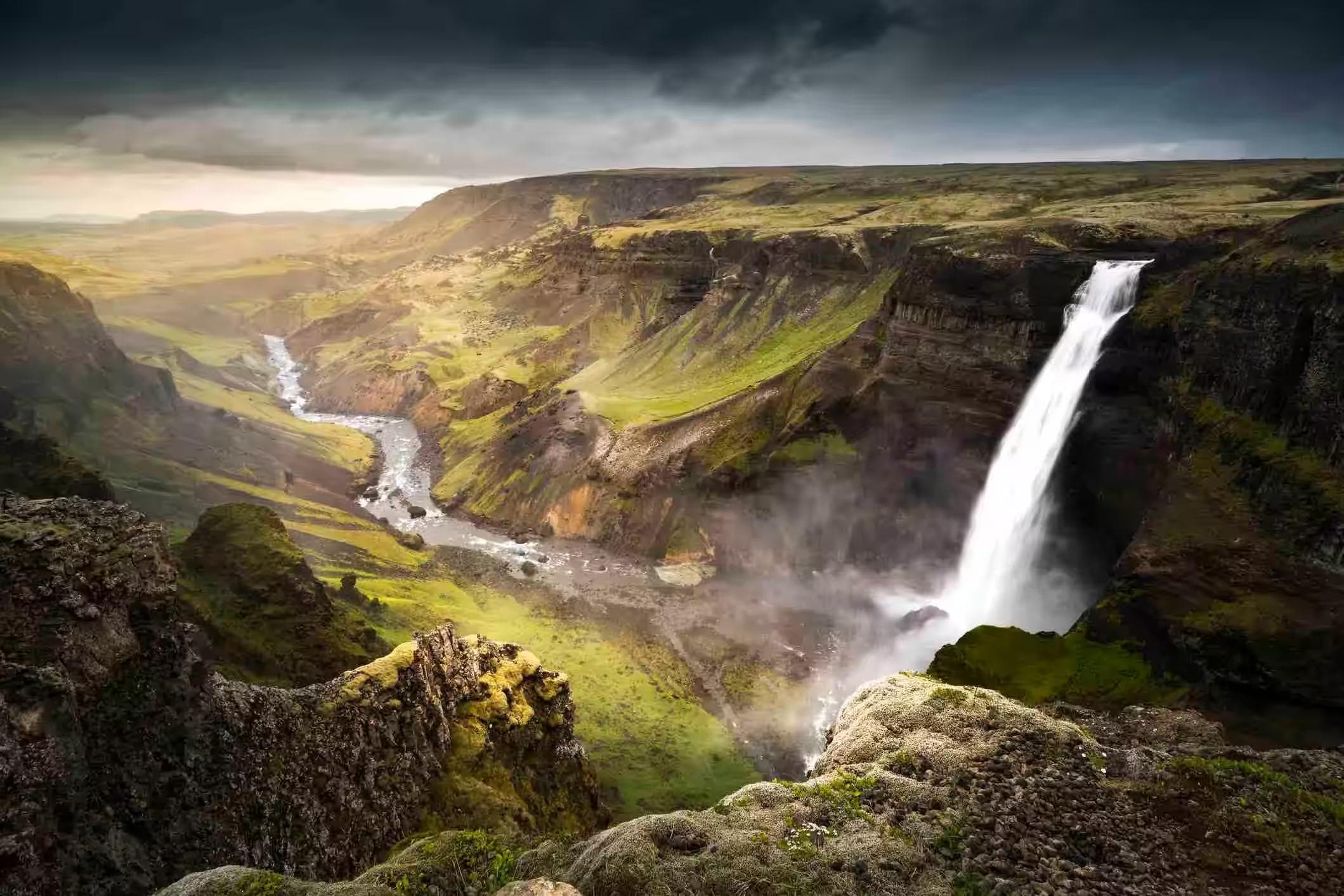
Vík
Continue east to Vík í Mýrdal — a small village of 300 people at the southernmost point of the Icelandic mainland, backed by the Mýrdalsjökull glacier and fronted by a black sand beach where the Atlantic arrives without obstruction from any landmass to the south. The sea stacks at Reynisfjara — basalt columns rising from the surf — are the most photographed coastal feature in Iceland for good reason. Stand at the waterline and look both directions: black sand to the horizon in each, the glacier behind, the stacks to the left, and the ocean ahead with nothing between here and Antarctica.
Reynisfjara's shore break is responsible for several fatalities annually. Sneaker waves — large, unpredictable waves that reach significantly further up the beach than the established wave line — arrive without warning and with enough force to pull an adult off their feet and into the surf. Stay 30 meters back from the waterline at all times. Do not approach the base of the sea stacks. The warning signs are not advisory — they are accurate.
Camp at Vík Camping in the village. The site has hot showers — a detail that improves morale measurably by day two of an Icelandic camping trip.
04Day Three: Landmannalaugar
The inland day. The F208 highland road to Landmannalaugar branches north from Route 1 approximately 30 kilometers east of Vík and immediately becomes a different kind of driving: unbridged river crossings, steep lava field descents, and a final approach across a rhyolite landscape that appears to belong to a different planet entirely. The mountains around Landmannalaugar are striped pink, yellow, green, and burgundy — the result of rhyolite lava cooling at different rates, producing mineral compositions that express as colour across entire hillsides.
Landmannalaugar Itself
The Landmannalaugar hut area sits in a natural hollow at 600 meters, surrounded by lava fields and steaming geothermal vents. A natural hot spring pool — approximately 38–40°C, fed by geothermal water mixing with a cold stream — sits directly beside the hut. It is free, open to all, and entirely surreal to sit in while snow patches are visible on the ridges 300 meters above.
Brennisteinsalda Loop
The Brennisteinsalda volcano trail — a 4-kilometer loop from the hut area gaining 300 meters to a summit at 855 meters — is the correct day walk here. The crater rim offers a 360-degree view of the rhyolite colour field below, the surrounding lava plains, and on clear days, the Mýrdalsjökull glacier cap to the south. The summit is fully exposed, and the wind at the crater rim consistently exceeds 40 km/h. The NovaBeam Headlamp is the relevant piece of gear for the return if timing slips — the F-road back to Route 1 requires focused driving in daylight, and the hut area has no artificial lighting after 10:00 pm. Leave the crater by 6:00 pm regardless of the midnight sun.
The F208 river crossings require correct technique: engage 4WD low range, select 1st gear, enter the river slowly at walking pace, and do not stop mid-crossing. Check crossing depth at the entry point before committing — crossings that appear shallow can have uneven beds. If another vehicle is present, observe their crossing line before attempting your own. Never cross alone without checking conditions at road.is.
05Day Four: Þórsmörk & The Interior
Þórsmörk — a mountain ridge and birch woodland valley 30 kilometers inland from Vík — is accessible by 4WD via the F249 road or by Reykjavík Excursions bus. The valley sits between three glaciers — Tindfjallajökull, Eyjafjallajökull, and Mýrdalsjökull — and the birch woodland filling the valley floor is one of the few places in Iceland where trees grow tall enough to provide genuine shelter from the wind.
The Valley Trails
The Þórsmörk trail network offers several marked routes between 3 and 12 kilometers. For this itinerary, the Valahnúkur viewpoint trail — 3 kilometers return, gaining 200 meters to a ridge above the valley — is the correct choice: short enough to leave time for the glacier view walk toward the Mýrdalsjökull tongue in the afternoon, dramatic enough to justify the inland drive.
Glacier Approach
The glacier tongue of Mýrdalsjökull is visible from Þórsmörk and accessible within 500 meters via a marked path. Ice at close range in Iceland is not the clean white of photography — it is grey-blue, striated with volcanic ash from previous eruptions, the surface irregular and alive-looking in a way that static images never show. Do not approach the ice itself without a guide and crampons. The approach path to the viewing distance is safe and clearly marked.
The ForgeTrail Multi Tool earns a second use on this day — the Þórsmörk birch woodland trail involves several small stream crossings where trekking poles benefit from tip adjustment, and the valley wind requires regular re-tensioning of the tent's guy wires at the campsite. Small mechanical needs in remote settings are the category of problems that a multi-tool solves in 30 seconds and that the absence of one turns into a 20-minute improvisation.
The Volcano Huts at Þórsmörk offer basic accommodation and a kitchen if the camping kit needs a rest day. Book ahead — capacity is limited, and the huts fill with Laugavegur trail hikers completing the multi-day route from Landmannalaugar.
06Day Five: Return to Reykjavík
The final day is a driving day back along Route 1 to Reykjavík, covering roughly 180 kilometers with stops at whatever the previous four days did not reach. The landscape on the return looks different after four days of walking inside it — the waterfalls are now places rather than sights, the lava fields are textures rather than backdrops, and the weather — which will have changed significantly, at least twice per day throughout — is now something navigated rather than reacted to.
Final Gear Check
Before the airport, a practical note: the TrailFix Repair Kit and ForgeTrail Multi Tool are both carry-on safe as checked luggage only — the multi-tool's blade and the repair kit's needle make them subject to airport security restrictions. Pack them in checked bags for the return flight. The VoltPeak Power Bank goes in carry-on only — lithium batteries are prohibited in checked luggage on most carriers. Sort this the night before. The Reykjavík airport security queue on a summer Saturday morning is not the place to discover the distinction.
Blue Lagoon Option
The Blue Lagoon sits 20 minutes from Keflavík Airport on the Reykjanes peninsula — directly on the return route — and is the correct final stop before the flight if a booking was made in advance. Entry without a pre-booked slot is not possible. Prices run from ISK 9,990 (approximately €70) for standard entry and the geothermal water at 38–40°C after five days of Icelandic wind and camping is precisely as restorative as it sounds.
Book the Blue Lagoon slot for the morning of the departure day at least two weeks ahead. The 9:00 am slot allows a full 2-hour soak, departure to the airport by 11:30 am, and comfortable check-in for any early afternoon flight. Book directly at bluelagoon.com — third-party pricing is uniformly higher.
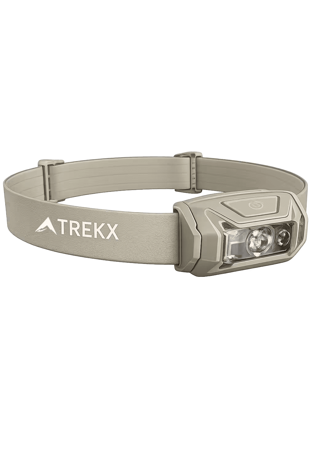
NovaBeam Headlamp
Essential for the Landmannalaugar return after 6:00pm and any campsite navigation after the midnight sun drops below useful light
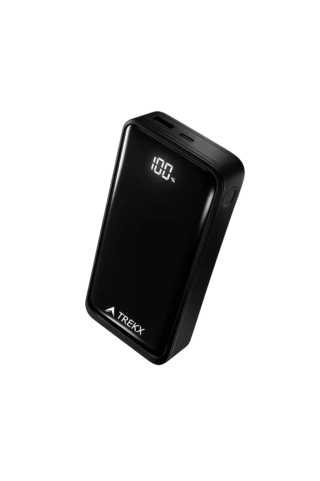
VoltPeak Power Bank
Keeps phone, camera, and headlamp charged across five days of remote travel where mains power appears only at campsites with facilities
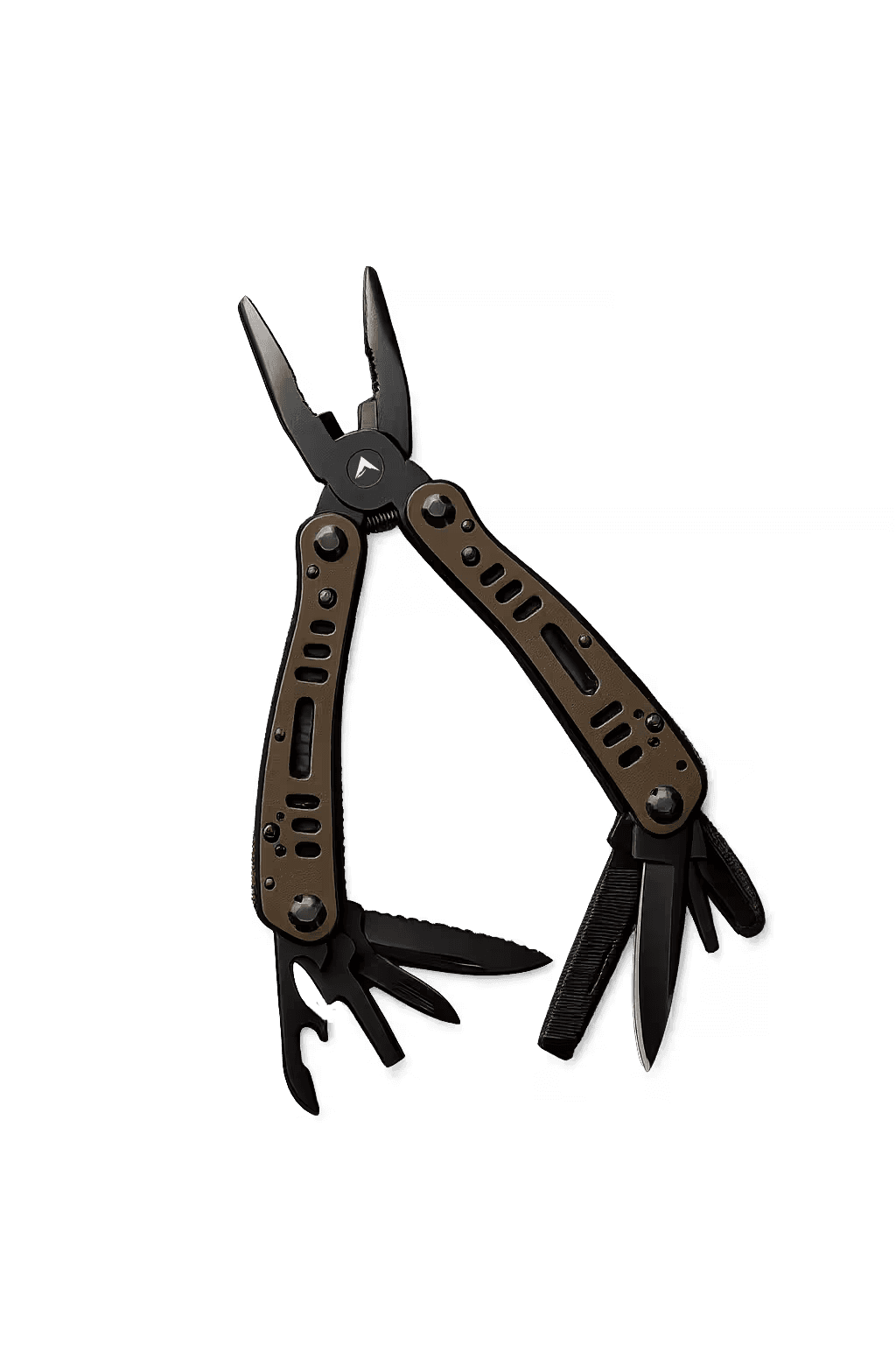
ForgeTrail Multi Tool
Pole adjustments, tent tensioning, gear repairs — in 30 seconds rather than 20-minute field improvisations
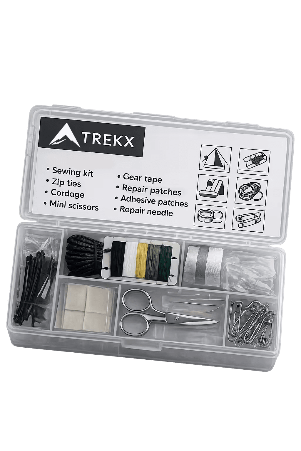
TrailFix Repair Kit
Addresses the zip, seam, and lace failures that remote Icelandic conditions produce before they become trail-ending problems