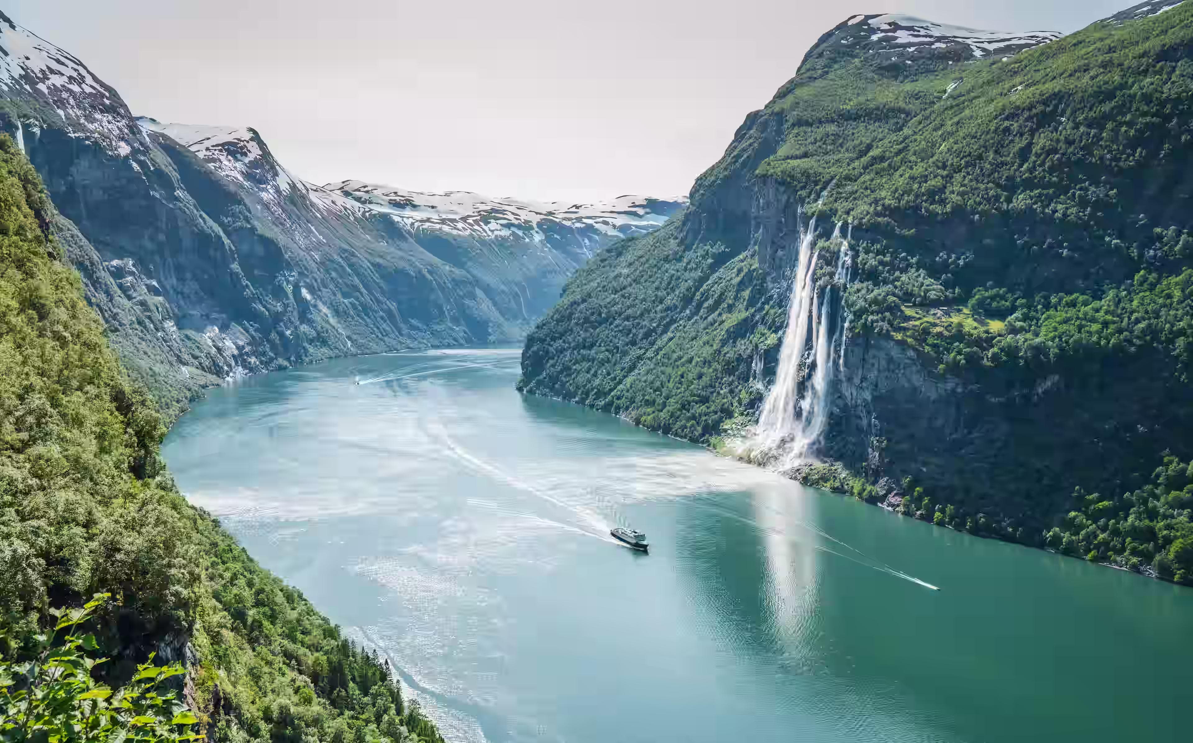
The ferry from Gudvangen arrives at Flåm in the early evening, and for the first few minutes after disembarking, nobody speaks. The fjord does that. The walls of Nærøyfjord — UNESCO-listed, one of the narrowest in the world — rise 1,200 meters from the waterline on both sides, black and vertical and draped in thin waterfalls that dissolve into mist before they reach the surface. The water is the colour of old glass: dark green, completely still, reflecting the cliff faces with a precision that makes the depth below feel twice as deep. The ferry engine cuts, and the silence that follows is not quiet in the ordinary sense. It is something more structural — the silence of a place where sound has very few surfaces to bounce from and simply falls into the water and disappears. Four days camping and walking beside this will change what you think silence means.
01The Fjordland Logic
The Sognefjord system — the longest and deepest fjord network in Norway at 204 kilometers and 1,308 meters in depth — provides the framework for this itinerary. The specific area used here is the southwestern branch: the Nærøyfjord arm from Gudvangen to Flåm, and the walking country immediately above the fjord walls toward the Aurland plateau. This is beginner-accessible terrain, not because it is flat — it is not — but because the infrastructure supporting it is excellent, the paths are well-marked, the distances are manageable, and the reward-to-effort ratio is among the highest of any walking destination in northern Europe.
Bergen is the logical arrival city. From Bergen, the Flåm Railway — widely considered one of the most scenic rail journeys in the world — connects through Myrdal to Flåm in approximately 2 hours and 20 minutes, descending 863 meters through 20 tunnels along a single-track mountain railway built into the cliff face. It is not merely transport. Ride it deliberately, in a window seat, preferably in morning light.
Getting There
- From Bergen by train — Bergen to Myrdal via NSB rail, then the Flåm Railway descent to Flåm. Total journey approximately 2 hours 20 minutes. Book Flåm Railway tickets well ahead in July — capacity is limited, and summer demand is high.
- From Oslo by train — Oslo to Myrdal direct, approximately 4.5 hours. Continue to Flåm as above.
- By car from Bergen — E16 east to Gudvangen, then the Nærøyfjord ferry to Flåm. Approximately 2.5 hours driving plus 2 hours on the ferry. The better option for those carrying a full camping kit.
02Camping in Norway
Norway operates under allemannsretten — the right of public access — which permits camping on uncultivated land for up to two nights without permission, provided the campsite is at least 150 meters from the nearest dwelling. In practice, this means that the entire Aurland plateau, the ridges above Nærøyfjord, and the open ground beside most fjord-adjacent walking paths are legally and freely available for tent placement.
This changes the economics and the experience of a Norway trip fundamentally. Instead of paying for accommodation in one of the most expensive countries in the world, the camping kit becomes the accommodation, and the campsite is wherever the walking ends, with a fjord view that no hotel in the region could replicate.
The Kit Logic
The four camping products in this guide work as a system:
- SkyDome Pop-Up Tent — pitches in under 60 seconds on any flat ground, which matters when the campsite is chosen at dusk on a ridge with fading light
- Basic Sleeping Bag — rated for the 3–8°C nights that Fjordland summers reliably produce at elevation
- CloudTrail Travel Pillow — compresses to pack size; the one comfort item that meaningfully improves four consecutive nights of ground sleeping
- TrailFlame Stove — boils water in 3 minutes on a gas canister available at any Norwegian outdoor retailer; the difference between a cold breakfast and a hot one beside a fjord at 7 am is not small
Gas canisters for the TrailFlame Stove cannot be carried on aircraft. Purchase them in Bergen or Flåm on arrival. Both stock standard threaded 100g and 230g canisters. A 230g canister covers approximately 4 days of cooking for one person.
03Day One: Flåm to Aurlandsvangen
The first day is an orientation walk along the fjord floor — 10 kilometers from Flåm along the eastern bank of the Aurlandsfjord to the small village of Aurlandsvangen, following the Rallar Road section and the lower fjord path through birch and alder forest. The walking is gentle, and the surroundings are immediately and consistently extraordinary. The fjord wall rises directly from the path in places, the rock face close enough to touch, waterfalls crossing the trail at intervals short enough that the sound of one has not yet faded before the next appears.
Fjord Floor Terrain
The path alternates between gravel road, stone-flagged sections, and short forested detours where the fjord bank becomes too steep for a direct line. In June, the birch canopy is fully leafed, and the forest floor carries wild strawberry and wood anemone in quantities that make the path difficult to walk quickly. Aurlandsvangen appears after approximately 3 hours of easy walking — a small cluster of white-painted wooden houses on a flat shelf of land where the valley widens slightly, with a general store, a church, and a campsite directly on the fjord bank.
First Camp
Camp at the Aurland Fjord Camping site or, under allemannsretten, on the flat ground at the northern end of the village, 150 meters from the nearest house. Pitch the SkyDome Pop-Up Tent before the light fades — in June in Norway, that means before midnight, theoretically, but the practical photography light at the fjord is best between 9:00 pm and 11:00 pm. The tent's pop-up mechanism is the relevant detail here: pitching a conventional dome tent on rocky fjord-edge ground in fading light with cold hands is a frustration the SkyDome removes entirely.
Boil water on the TrailFlame Stove for pasta or a dehydrated meal. Eat outside. The fjord at 10:00 pm in late June is still fully lit — the light coming in at a low angle from the northwest, the cliff faces warm-toned and enormous, the water below them perfectly still — and eating beside it in this light, in this silence, is the entire reason the camping kit weighs what it does.
04Day Two: Stegastein & The Aurland Plateau
The second day is a climb. From Aurlandsvangen, the road to Stegastein — a cantilevered viewing platform at 650 meters above the fjord, built into the cliff face on the Aurland mountain road — is a 6-kilometer ascent gaining 600 meters through open switchbacks above the treeline. The platform itself extends 30 meters over the cliff edge, and the view from it encompasses the full depth of the Aurlandsfjord below, the Nærøyfjord arm to the west, and the plateau above.
The Ascent
The gradient on the mountain road is consistent and demanding — not technically difficult, but relentless in the way that road ascents always are, with no variation in surface to break the rhythm. Allow 2.5 hours at a beginner pace. The reward at the top is immediate and disproportionate to the effort. Standing on the Stegastein platform with the fjord 650 meters directly below requires a moment of physical adjustment before the view can be processed properly — the drop is vertical, the fjord is a thin dark line at the bottom of it, and the far wall is so close that the whole space feels compressed in a way that photographs never successfully convey.
Plateau Walking
Above Stegastein, the terrain opens onto the Aurland plateau — a broad, rolling high moorland at 900–1,100 meters, treeless, wind-exposed, crossed by a network of marked paths connecting the plateau huts. The Norwegian Trekking Association (DNT) maintains three huts on the plateau accessible on this route: Geiterygghytta, Steinbergdalen, and Østerbø. All offer basic accommodation and meals for DNT members; non-members can use them at a modest surcharge.
For this itinerary, camp on the plateau rather than using the huts — the allemannsretten applies fully, the ground is flat and well-drained, and waking up at 1,000 meters on an open Norwegian plateau to a fjord visible in the distance is a materially different experience from a bunk room. The CloudTrail Travel Pillow is the item that makes this decision easier to sustain across four nights — plateau ground is level but unforgiving, and the difference between a sleeping bag with and without a proper pillow becomes decisive somewhere around 2:00 am on the second consecutive night.
The Aurland plateau weather changes without transition. Clear visibility and strong sun at 10:00 am can become horizontal rain and 50 km/h wind by 2:00 pm, with no intermediate state. Check Yr.no — the Norwegian meteorological service, considerably more accurate than generic apps for high plateau conditions — before leaving the fjord floor each morning. The SkyDome's guy-wire anchoring is essential in plateau wind; stake all four corners even in calm conditions.
05Day Three: Nærøydalen Valley
The third day descends from the plateau to the valley floor of Nærøydalen — the river valley that feeds the Nærøyfjord from the east — via the marked path from Østerbø down to Dyrdal, a tiny farming hamlet accessible only by boat or on foot, with no road connection to the outside world. The descent covers 8 kilometers and drops 900 meters through birch forest, past several waterfalls, to a flat valley floor that ends at the fjord edge.
The Descent Path
The path from Østerbø to Dyrdal is one of the oldest trade routes in the Sognefjord region — used for centuries by farmers moving livestock and goods between the plateau and the fjord — and it carries the quality of a path that has been walked into the landscape rather than built onto it. Stone steps worn smooth by centuries of use, cairns at every junction, the sound of the river below getting louder through two hours of forested descent before the valley floor opens and the fjord appears at the end of it.
Dyrdal
Dyrdal is a handful of farmhouses on a flat triangle of land where the valley meets the fjord. There are no cars. There is no shop. There is a jetty, and the passenger ferry from Gudvangen stops here on request. Camp on the flat ground at the valley mouth, cook on the TrailFlame Stove with the fjord directly in front of the tent, and take the ferry to Gudvangen the following morning. The ferry trip through Nærøyfjord — the same crossing described at the opening of this guide, now in reverse — is the correct ending to three days of walking above it. Seeing the fjord walls from water level after three days of looking down at them from the ridge provides a perspective that completes the experience rather than simply concluding it.
The Nærøyfjord passenger ferry stops at Dyrdal on request. Flag it from the jetty or pre-arrange with the operator by phone the previous evening. Boats run two to three times daily in summer; check the current timetable before the descent from Østerbø.
06Day Four: Gudvangen & Return
The final morning begins at Gudvangen — the small village at the innermost point of the Nærøyfjord — after the ferry crossing from Dyrdal. The village has a Viking heritage park, a campsite, and a bakery that opens at 8:00 am. Buy bread and eat it outside. The fjord at Gudvangen is at its narrowest here — barely 250 meters across — and the walls above it are so close and so vertical that the sky is reduced to a thin bright strip directly overhead.
Leaving the Fjords
The return to Bergen runs via the Nærøyfjord ferry to Flåm, then the Flåm Railway to Myrdal, then the Bergen Railway west. The full journey takes approximately 4 hours and passes through terrain that, on the outward journey, was seen from the inside of a tunnel or at speed. On the return, with four days of walking context, the same landscape reads differently — the ridges above Myrdal are now places rather than scenery, the plateau is somewhere that was slept on and rained on and cooked on at dawn — and that shift, from scenery to somewhere, is the quiet thing that four days of camping and walking in the Norwegian fjords actually produces.
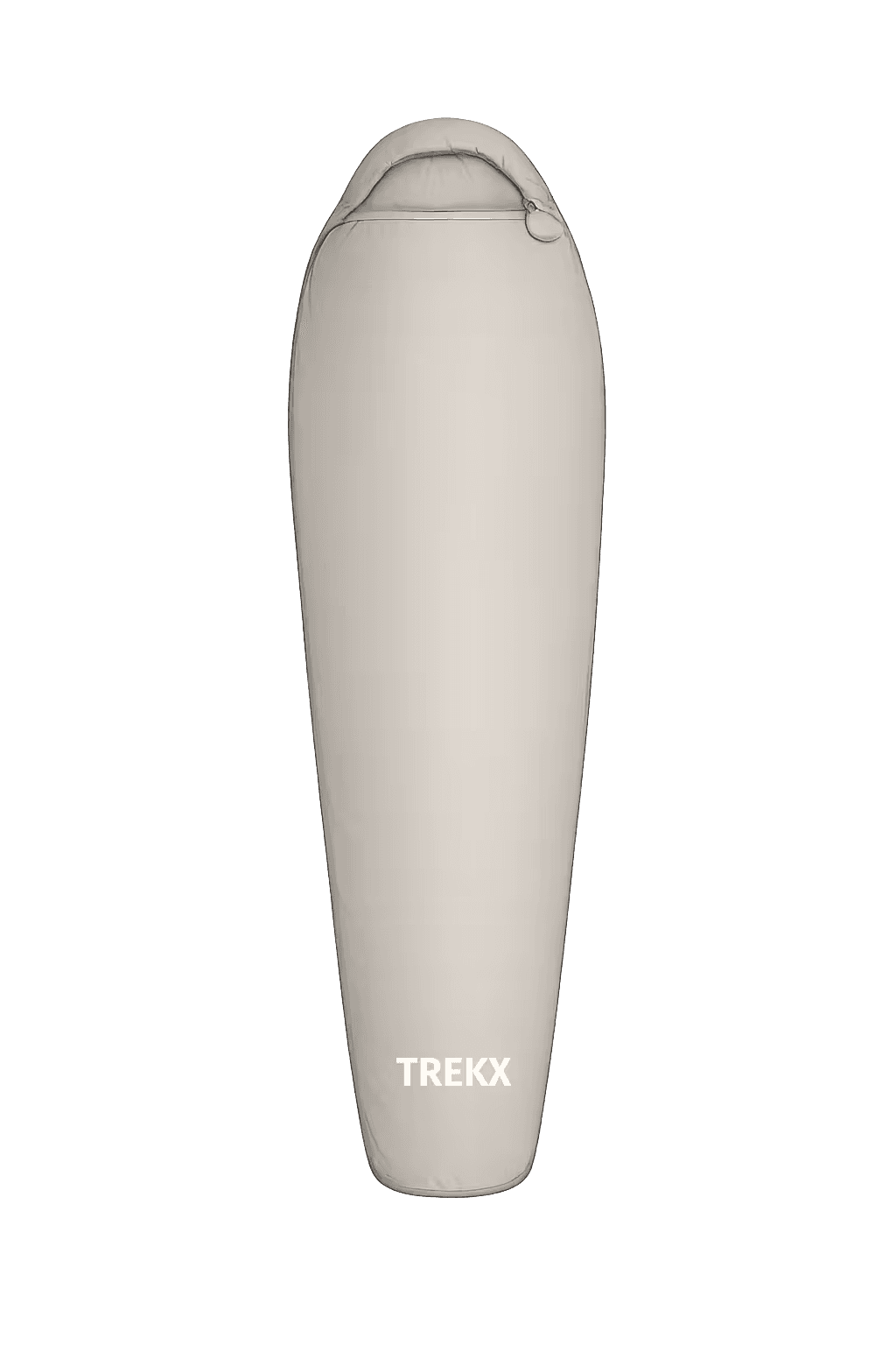
TrailNest Sleeping Bag
Four consecutive nights at fjord elevation in 3–8°C summer temperatures
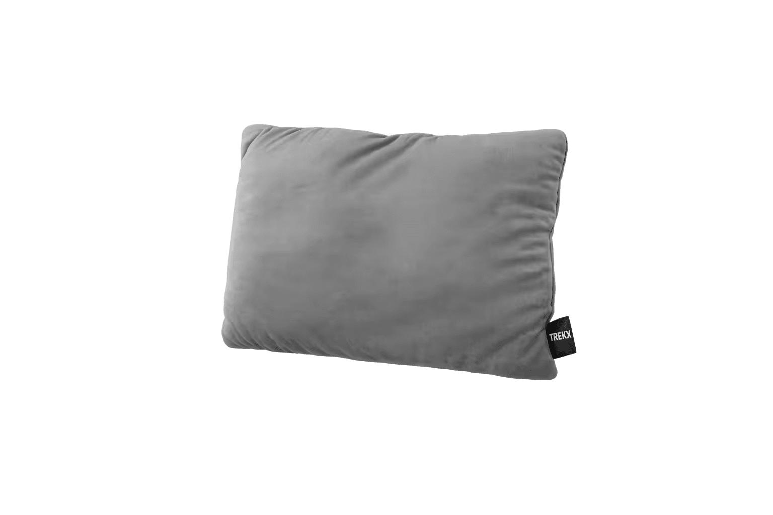
CloudTrail Travel Pillow
Compresses to side-pocket size in the daypack and becomes decisive by night two on plateau ground
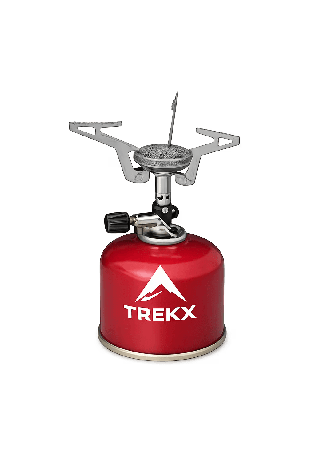
TrailFlame Stove
The difference between a cold start beside a Norwegian fjord at 7 am and a warm one is this stove
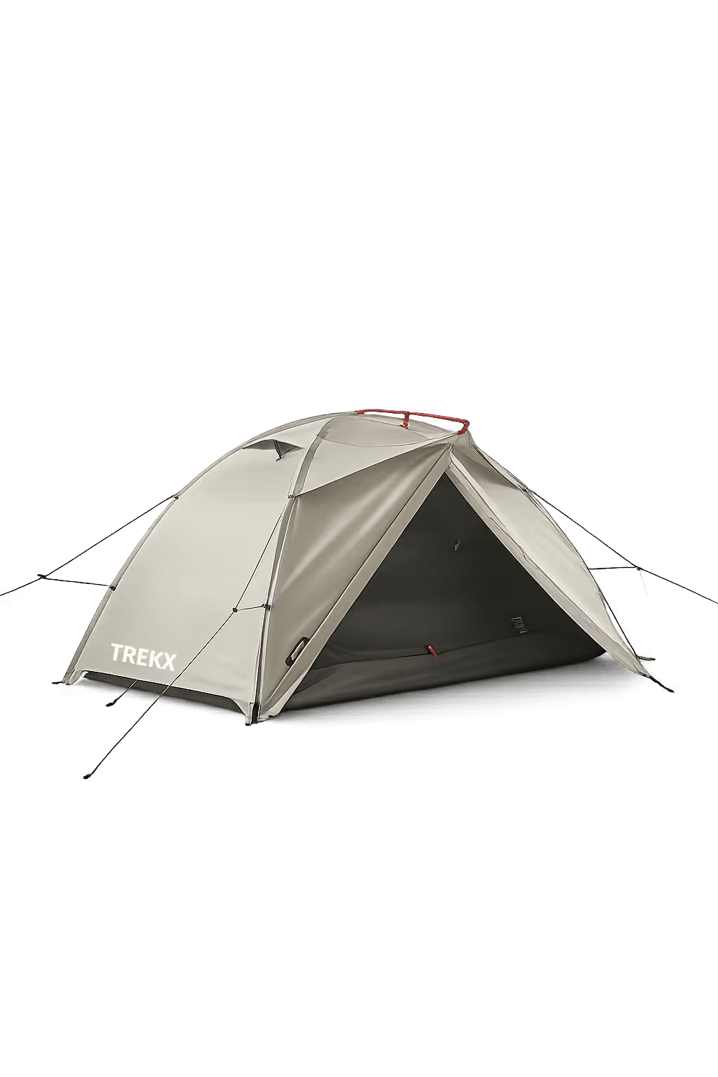
SkyDome Pop Up Tent
Pitches in under 60 seconds on plateau ground in fading light