Marrakech sits at 466 meters, and the High Atlas begins one hour south of it. The transition is not gradual — the city's noise and ochre dust give way to road curves and scrub cedar and the first terraced valley walls within 40 minutes of the Menara roundabout. By the time the road reaches Imlil at 1,740 meters, the air has already changed enough to register as a different climate entirely: cooler, drier, carrying the smell of thyme and mule and the specific mineral quality of Saharan air that has crossed 3,000-meter terrain before arriving at the valley floor. The Atlas does not build to a beginning. It simply starts, and the beginning is already high.
This itinerary covers the Toubkal circuit — a five-day route through the Toubkal National Park in the Western High Atlas, connecting Imlil to the villages of Aremd, Sidi Chamharouch, and the Toubkal base camp plateau without the summit attempt that most guided programs build toward. The circuit at this level is the Atlas at its most honest: long days, significant elevation, remote terrain, Amazigh village culture, and weather that the altitude produces independently of the desert below. The summit of Jebel Toubkal at 4,167 meters is the next guide's territory — an advanced undertaking requiring crampons and an ice axe in spring. This is the approach, and the approach is enough.
01Imlil & The Logistics
Imlil — the primary trailhead village for the Toubkal massif — is 63 kilometers south of Marrakech via the S501 road. Options:
- Shared grand taxi from Marrakech's Bab Rob taxi stand — the standard local approach, approximately 90 minutes, costs MAD 50–70 per seat. The driver collects passengers until the car is full; morning departures by 7:00 am avoid the midday heat on the initial climb.
- Private transfer — arranged through any Marrakech riad for approximately MAD 300–400 return. The faster and more flexible option for groups carrying a full trekking kit.
Permits & Guides
Entry to Toubkal National Park requires a park permit — purchased at the Imlil park office for MAD 20 per person — and multi-day trekking above Aremd village requires a licensed Amazigh guide under Moroccan mountain tourism law. Guides are registered through the Bureau des Guides d'Imlil and cost approximately MAD 400–500 per day for a solo trekker or split between a group. Mule hire for the main load — MAD 200–250 per day per mule — is not optional on a five-day circuit with camping equipment in spring snow conditions.
Arrange the guide and mule the evening before departure through the Bureau des Guides. Do not negotiate on the street with unregistered guides offering lower prices — the licensed system exists because the high Atlas terrain is genuinely serious above 3,000 meters, and the guide's knowledge of current snow conditions, water sources, and village accommodation is the difference between a five-day circuit and an emergency extraction.
02Day One: Imlil to Aremd
Distance: 6km | Elevation gain: 300m | Time: 3–4 hours
The first day is short by design — an acclimatization walk that introduces the Atlas terrain and the village culture simultaneously, without loading the legs for the elevation demands of the following days. The path from Imlil climbs through terraced walnut and apple orchards to Aremd at 2,000 meters — the largest village in the Toubkal valley, its flat-roofed stone houses stacked against the valley wall in a configuration that has not changed architecturally in several centuries.
Terrain Introduction
The SummitTraverse Pants handle the full elevation range of the Atlas circuit — from the valley warmth at Imlil in the afternoon to the below-zero mornings at base camp on day three — in a single layer that the articulated cut makes viable across that temperature swing. The Atlas in spring oscillates between 22°C at valley elevation at 2:00 pm and -3°C at 3,000 meters before sunrise — a 25-degree daily swing that requires either a single versatile layer or a constant stop-and-change process that wastes time and energy on the longer days. The SummitTraverse covers the full range without either outcome.
Aremd Village
Spend the first night in an Amazigh gîte — the family-run mountain accommodation that the Atlas trekking economy is built on. The gîtes provide a mattress on a carpeted floor, Berber tagine and mint tea for dinner, and the specific warmth of a household that has been feeding trekkers since the Toubkal route was established in the 1930s. Cost: approximately MAD 150–200 per person, including dinner and breakfast. The tagine arrives in its clay vessel at the table with the unhurried confidence of food that has been cooking since before the walk began. Eat all of it. Tomorrow's elevation gain requires calories.
03Day Two: Aremd to Sidi Chamharouch & High Camp
Distance: 12km | Elevation gain: 1,100m | Time: 6–7 hours
The second day is the circuit's most sustained climb — from Aremd at 2,000 meters to the Toubkal base camp plateau at 3,207 meters via the pilgrim shrine at Sidi Chamharouch at 2,310 meters. The valley narrows progressively above Aremd, the path following the Ait Mizane river through boulder terrain before the shrine's white-painted sanctuary appears on a rock outcrop above the confluence.
Hydration in Dry Air
The Atlas in spring is deceivingly arid. The air above 2,500 meters carries almost no humidity, the sky is cloudless between 8:00 am and 3:00 pm, and the UV index runs at 8–9 at this latitude and elevation. The FlowRidge Hydration Pack is the system that makes these conditions manageable — continuous drinking through the bladder tube rather than reactive stops at the water bottle prevents the dehydration that dry mountain air accelerates through respiration. Fill at Sidi Chamharouch from the river; the shrine's location at the valley confluence is the last reliable water source before base camp. The PureFlow — carried on the circuit for camp-level filtration — handles the river source here. Above Sidi Chamharouch, snowmelt streams appear intermittently through April but should not be planned around.
The SummitShade Sunglasses
are non-negotiable above 2,500 meters in the Atlas spring. The UV reflection off residual spring snow at altitude — present on the northeast-facing slopes above 3,000 meters through April — produces eye fatigue that affects balance and judgment on boulder terrain within 90 minutes of unprotected exposure. The SummitShade's lens category covers both the direct high-altitude sun and the reflective snow surfaces that the approach above Sidi Chamharouch introduces on the final 600-meter push to base camp.
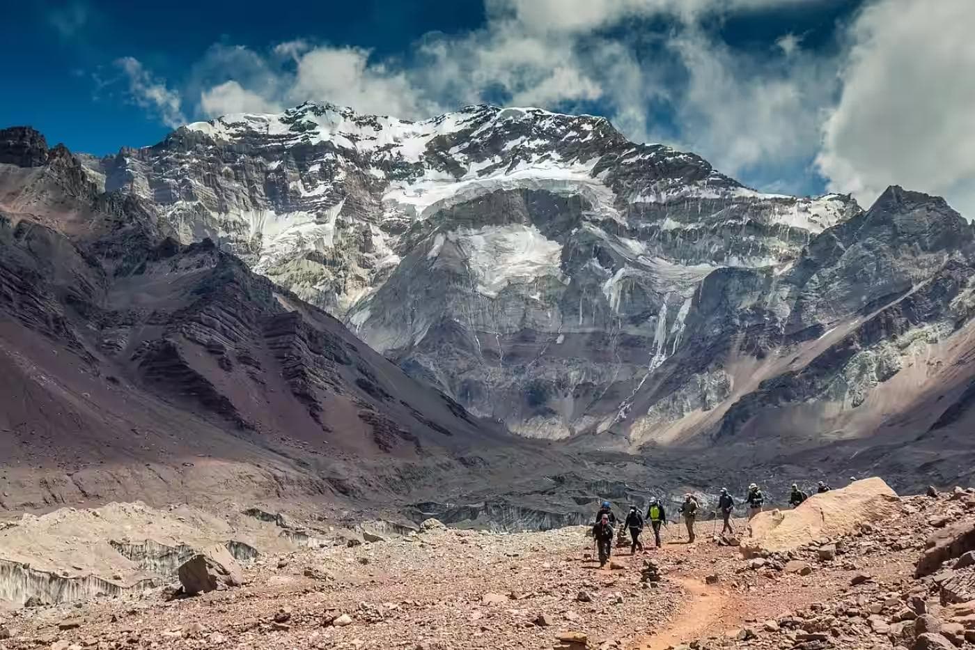
Base Camp Plateau
The Toubkal refuge area at 3,207 meters — the Neltner Hut and the surrounding flat ground — is the base camp for both the circuit and the Toubkal summit attempt. For this itinerary, it is the high camp: one night at altitude before the circuit traverse, in a position that provides the full 360-degree view of the Toubkal massif's surrounding peaks. Camp here in the late afternoon light and the Atlas reveals its actual scale: the valley floor at Imlil is 1,500 meters below and invisible; the peaks above the base camp plateau rise a further 900 meters in rock and snow; the Saharan plateau is visible to the south as a warm brown haze above the final ridgeline.
The SummitBoil Stove System and CompressLite Sack work together at base camp. The CompressLite compresses the sleeping bag to a fraction of its loft volume for the approach, then releases it fully at camp — the compressed transport volume is the difference between a pack that closes and one that requires external strapping. The SummitBoil handles dinner and morning coffee at 3,200 meters in the specific cold that base camp produces after sunset: temperatures that drop to -5°C by 10:00 pm in April, a stove efficiency that the windscreen integration makes consistent regardless of the valley draft that crosses the plateau after dark.
The base camp plateau at 3,207 meters sits in active altitude territory. Persistent headache, nausea, and disrupted sleep on the first night at this elevation are AMS symptoms requiring honest assessment. If symptoms are present in the morning, the day three traverse should be replaced by a descent to Sidi Chamharouch at 2,310 meters and a rest day. The circuit's day three route has no fast descent option from its highest point — committing to it with developing AMS is the decision that turns a manageable situation into a serious one.
04Day Three: Circuit Traverse — Tizi n'Ouanoums (3,664m)
Distance: 10km | Elevation gain: 500m / loss: 1,200m | Time: 7–8 hours
The third day is the technical heart of the circuit: a traverse from base camp over the Tizi n'Ouanoums pass at 3,664 meters — still snow-covered in April on the north-facing approach — and descent into the Azzaden Valley on the western side of the Toubkal massif. This is the day the NorthPeak Compass earns its place in the pack.
Pass Navigation
The Tizi n'Ouanoums approach above 3,400 meters crosses a snow couloir in April that the path beneath it renders invisible. Navigation here is by bearing and by guide knowledge — the visual landmarks that orient the summer route are buried, and the instinctive line up the couloir diverges from the correct one by enough to matter on the descent into the Azzaden. The NorthPeak Compass — used in conjunction with the GPS track downloaded to the phone — provides the redundancy that remote high-altitude navigation requires. Electronic navigation in cold conditions below 5°C produces battery failures without warning; the compass is the instrument that functions when the phone does not.
The SunGrid Solar Charger clipped to the mule's side pannier or the pack's rear panel charges the phone continuously on the approach — the Atlas sun above 3,000 meters in April is intense enough to produce a meaningful charge even on a clouded morning. A phone at full charge before the pass crossing is the navigation insurance that the Tizi n'Ouanoums demands.
Azzaden Descent
The western descent from the pass into the Azzaden Valley is the circuit's most dramatic terrain change: from snow and bare rock above the col to green valley floor at 2,100 meters in three hours of consistent descent through boulder field, then cedar scrub, then the terraced fields that announce the valley's inhabited section. The Azzaden is quieter than the Toubkal valley — fewer trekkers, more working farms, the mule path from the pass joining the valley floor route used by local farmers rather than a maintained tourist trail. Camp in the lower valley at an Amazigh farm that the guide knows — the informal camp economy in the Azzaden operates through guide relationships rather than listed accommodation.
05Day Four: Azzaden Valley to Tacheddirt
Distance: 14km | Elevation gain: 600m | Time: 6–7 hours
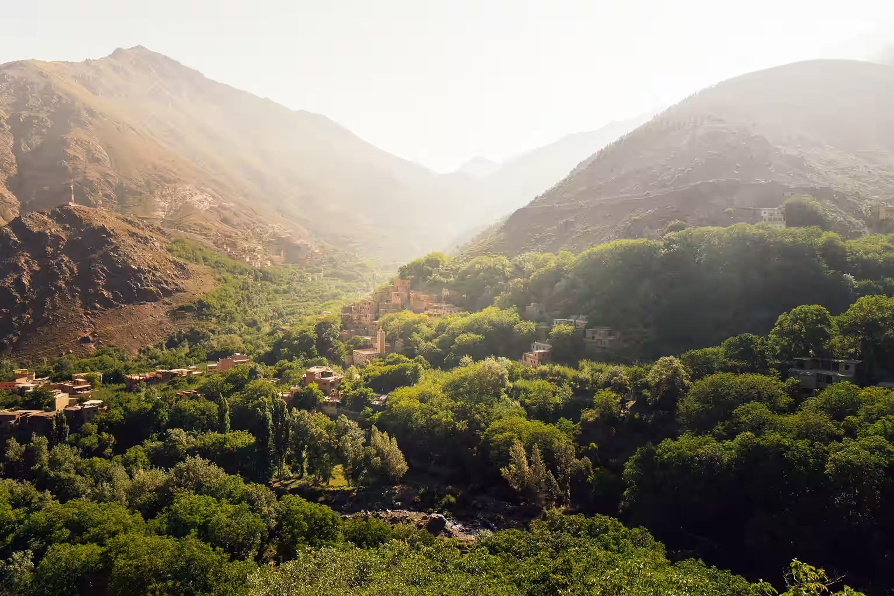
The fourth day traverses the Azzaden Valley north to Tacheddirt at 2,314 meters — a substantial village on the eastern approach to the Tizi n'Tacheddirt pass, one of the traditional trading routes between the Atlas valleys and Marrakech. The walk is the circuit's most culturally immersive section: the path passes through four separate hamlets whose relationship with the outside world runs through this trail, the mule traffic on it carrying produce down and supplies up daily that the road has not yet replaced.
Valley Culture
The SunGrid Solar Charger keeps devices charged for the photography that the Azzaden's human landscape rewards. The traditional Amazigh architecture — flat mud-brick roofs, painted window surrounds, the irrigation channels that distribute Atlas snowmelt to the terraced gardens — photographs in the late afternoon light in ways that mid-morning sun flattens completely. Time the final approach to Tacheddirt for 4:00 pm and the village's eastern face catches the warm directional light that the Atlas afternoon produces consistently in spring.
Tacheddirt has a gîte — Gîte Tacheddirt — that provides the same hospitality as Aremd with a harder-to-reach quality that makes the dinner table feel more earned. The stove is wood-fired, the bread is made in a clay oven beside the building, and the mint tea is brewed with Atlas thyme rather than the market variety. Sleep early — day five's return to Imlil involves the Tizi n'Tacheddirt pass and the mule path back through the Mizane valley.
06Day Five: Tacheddirt to Imlil via Tizi n'Tacheddirt
Distance: 12km | Elevation gain: 700m / loss: 1,200m | Time: 6–7 hours
The final day crosses the Tizi n'Tacheddirt pass at 3,234 meters and descends the eastern flank back to Imlil — completing the circuit and closing the elevation profile at the same valley floor where it opened. The pass crossing is shorter and less technical than day three's Tizi n'Ouanoums, but retains the spring snow on the north face that the compass and GPS track navigation require in poor visibility.
Return Light
The descent from Tizi n'Tacheddirt into the Mizane valley happens in the best light of the five days — a late morning sun at the correct angle for the valley's west-facing walls, the terraced orchards below in the first week of apple blossom in early May, the path surface clear of the morning frost that the north face held until 9:00 am. The Atlas in this light and at this season is the version that makes the approach from Marrakech, the gîte floors, the cold base camp nights, and the altitude headache of day two a coherent price for a coherent experience.
Imlil by 2:00 pm. Grand taxi north to Marrakech by 3:00 pm. The city, arriving at speed after five days of mule pace, is genuinely startling — the noise, the flat horizon, the absence of elevation. The Atlas is visible from the Jemaa el-Fna until the sun sets. Most trekkers look at it once, from the square, before the medina absorbs them. That single look back at the range, from the city that the mountains frame, carries a context that the postcard version of Marrakech does not.
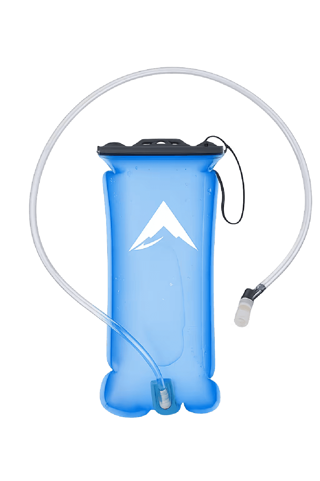
FlowRidge Hydration Pack
Continuous drinking in dry Atlas air where dehydration outpaces thirst signals above 2,500 meters
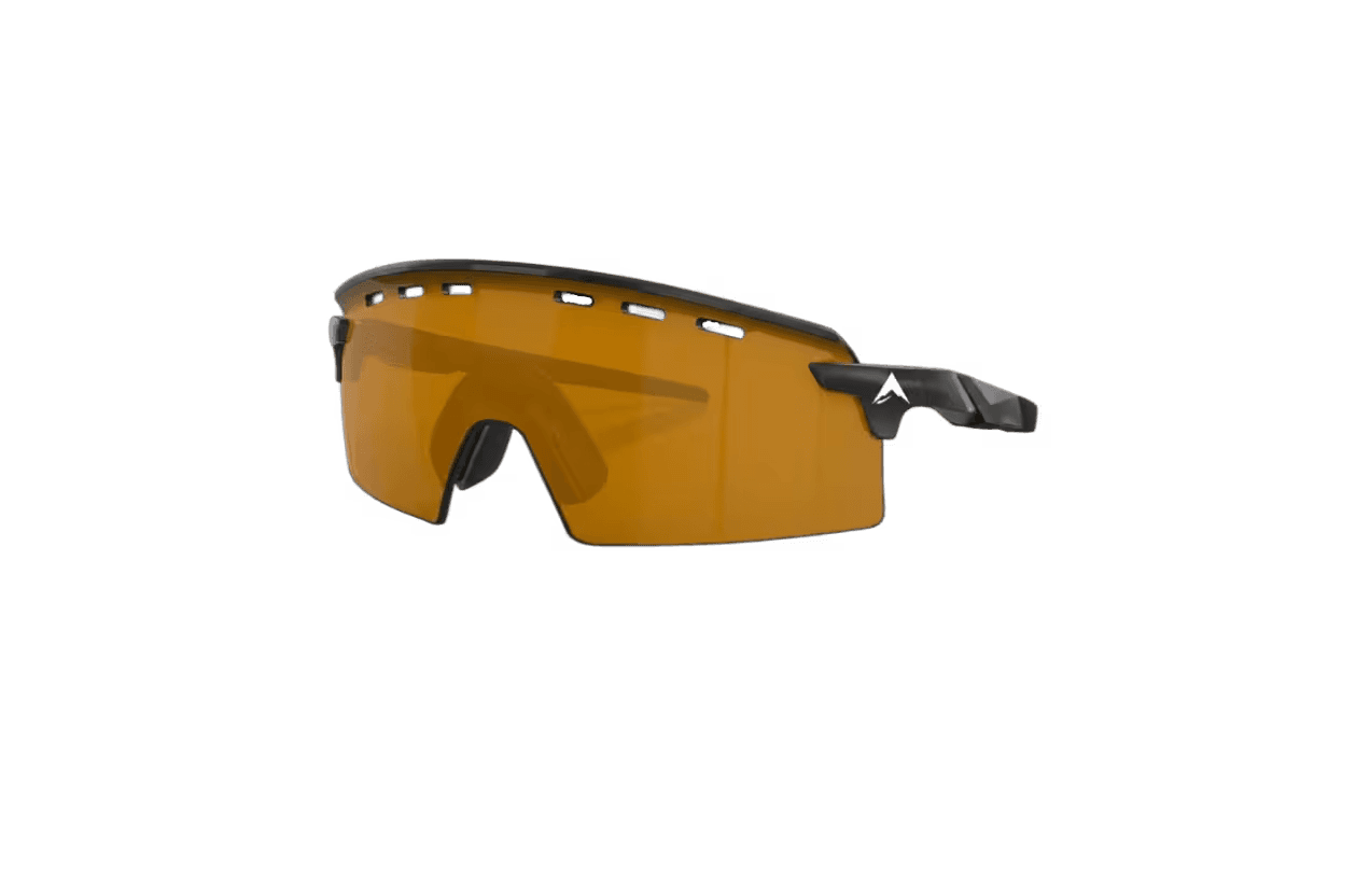
SummitShade Sunglasses
The eye protection that prevents the altitude-compounded fatigue that unprotected snow glare produces within 90 minutes on the Tizi n'Ouanoums couloir
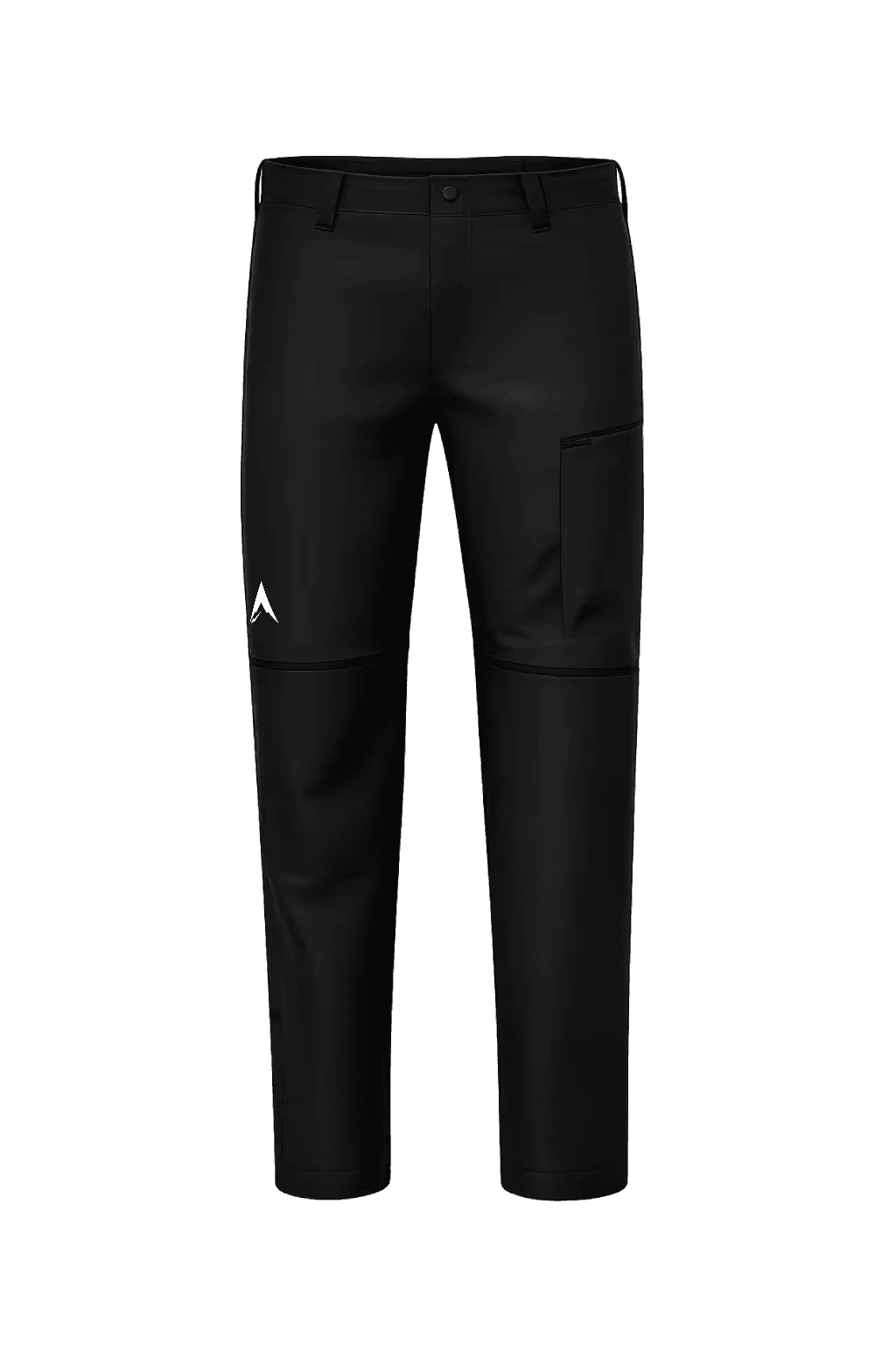
SummitTraverse Pants
Covers the 25-degree daily temperature swing between valley afternoon and base camp pre-dawn in a single layer
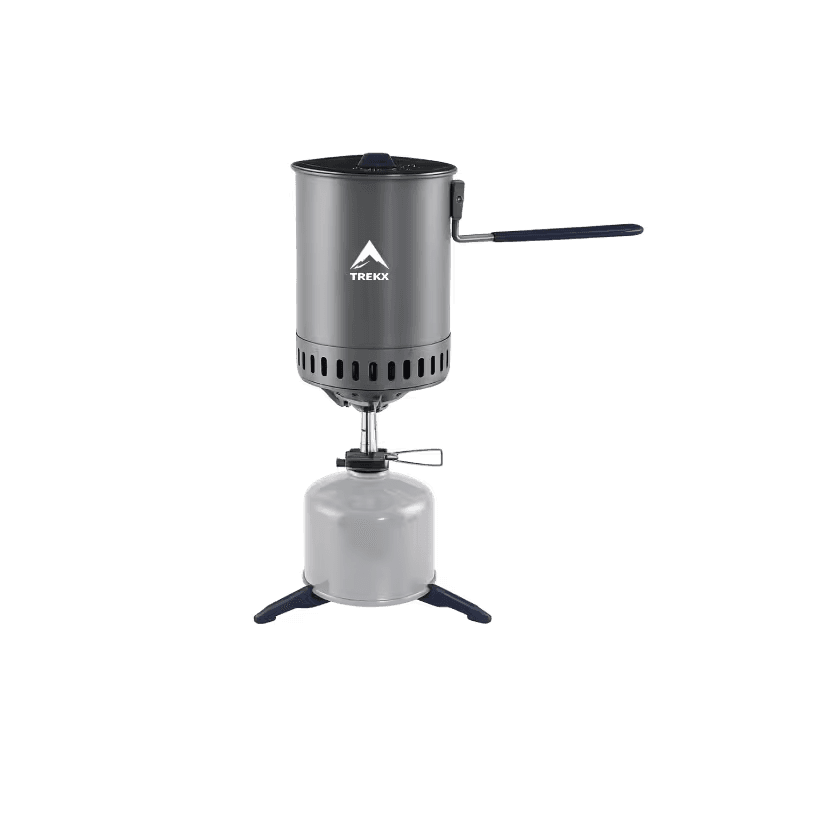
SummitBoil Stove System
Produces hot meals and morning coffee at 3,200 meters in -5°C camp temperatures
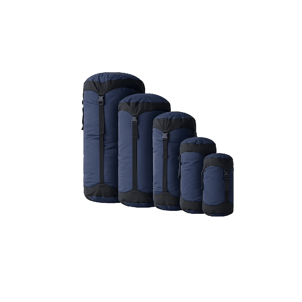
CompressLite Sack
The packing solution that eliminates the external strapping that an uncompressed bag requires on a five-day mule-supported circuit
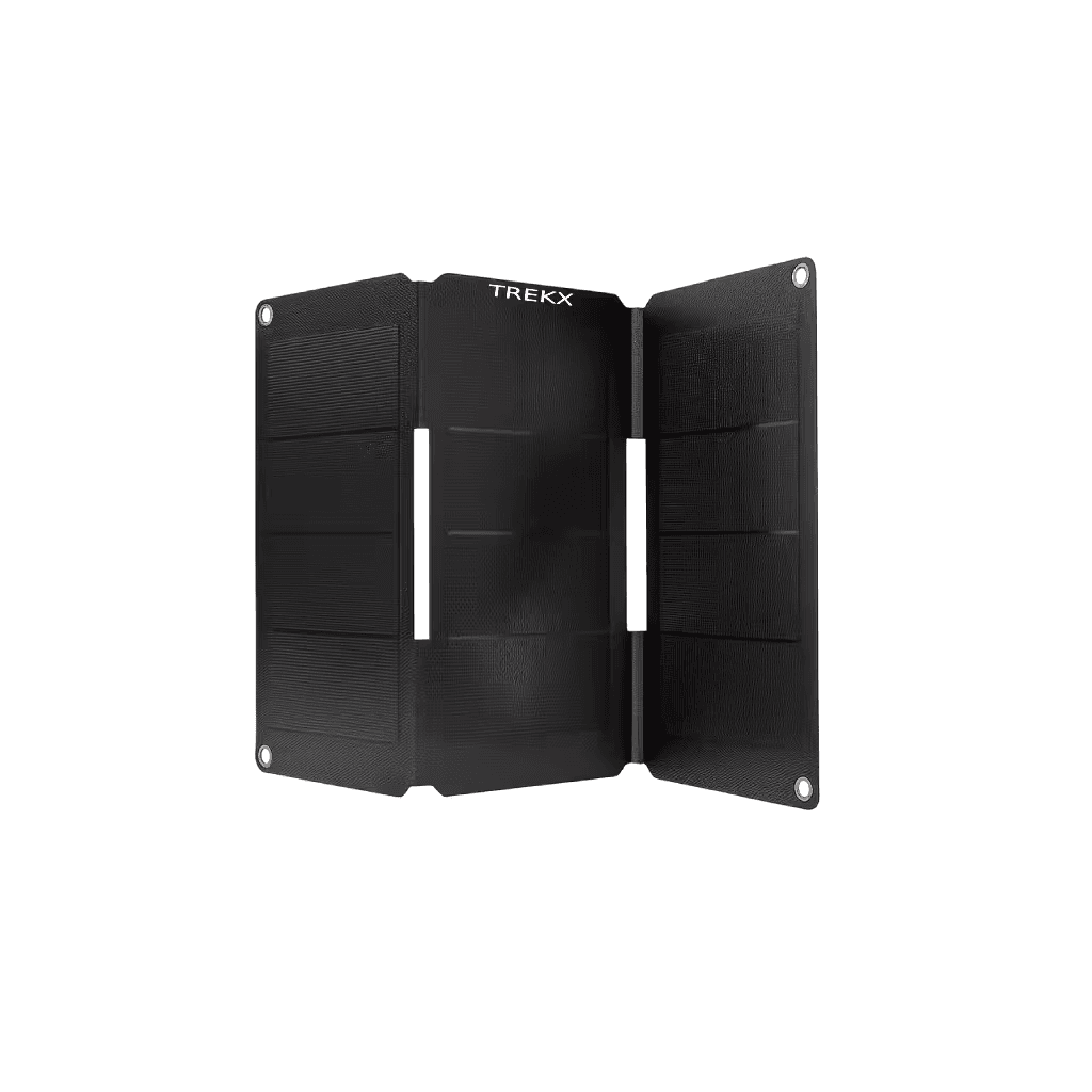
SunGrid Solar Charger
Charges phone and GPS device continuously on the mule pannier during approach
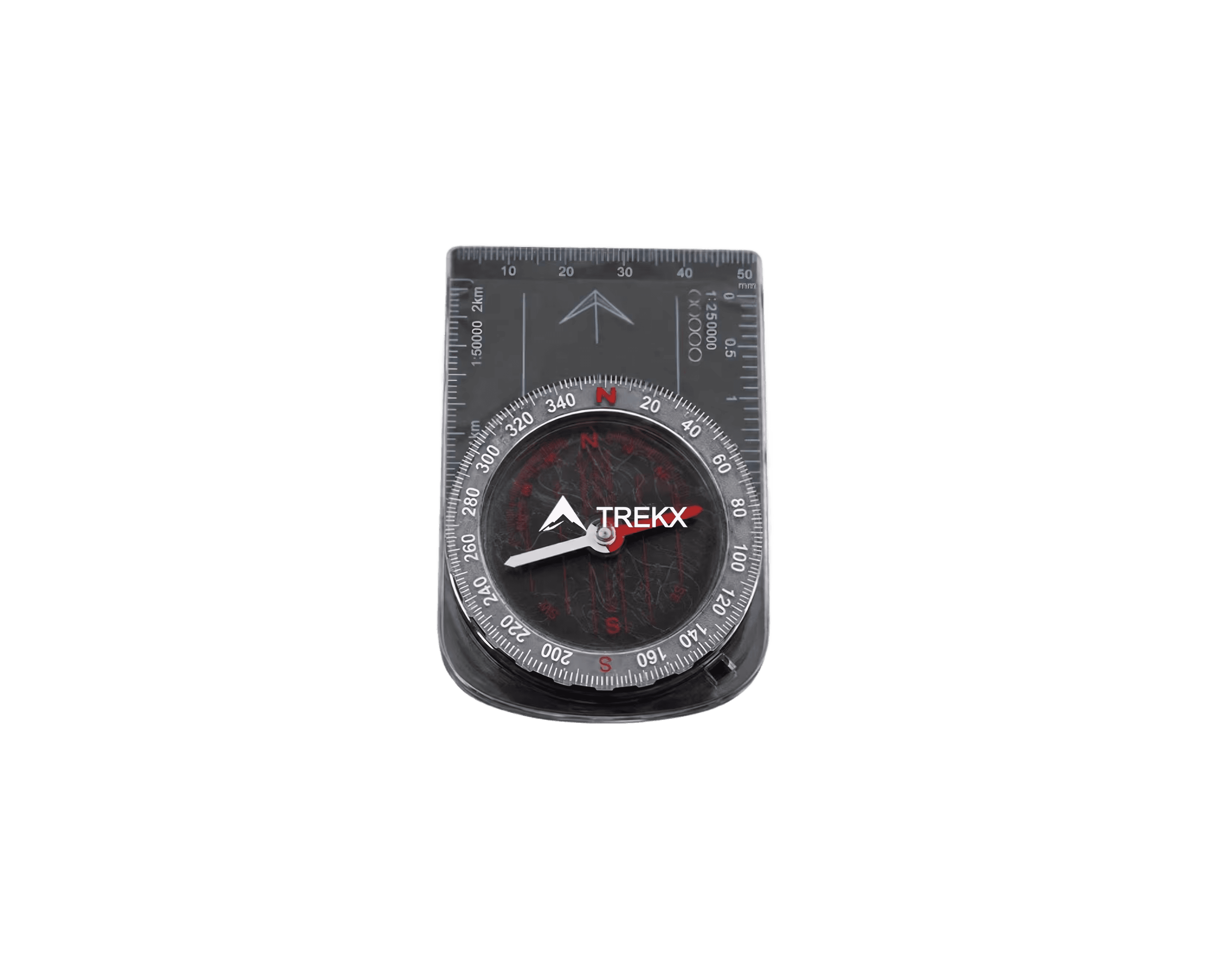
NorthPeak Compass
Provides navigation redundancy on the snow-covered Tizi n'Ouanoums approach where the electronic device fails in below-zero cold