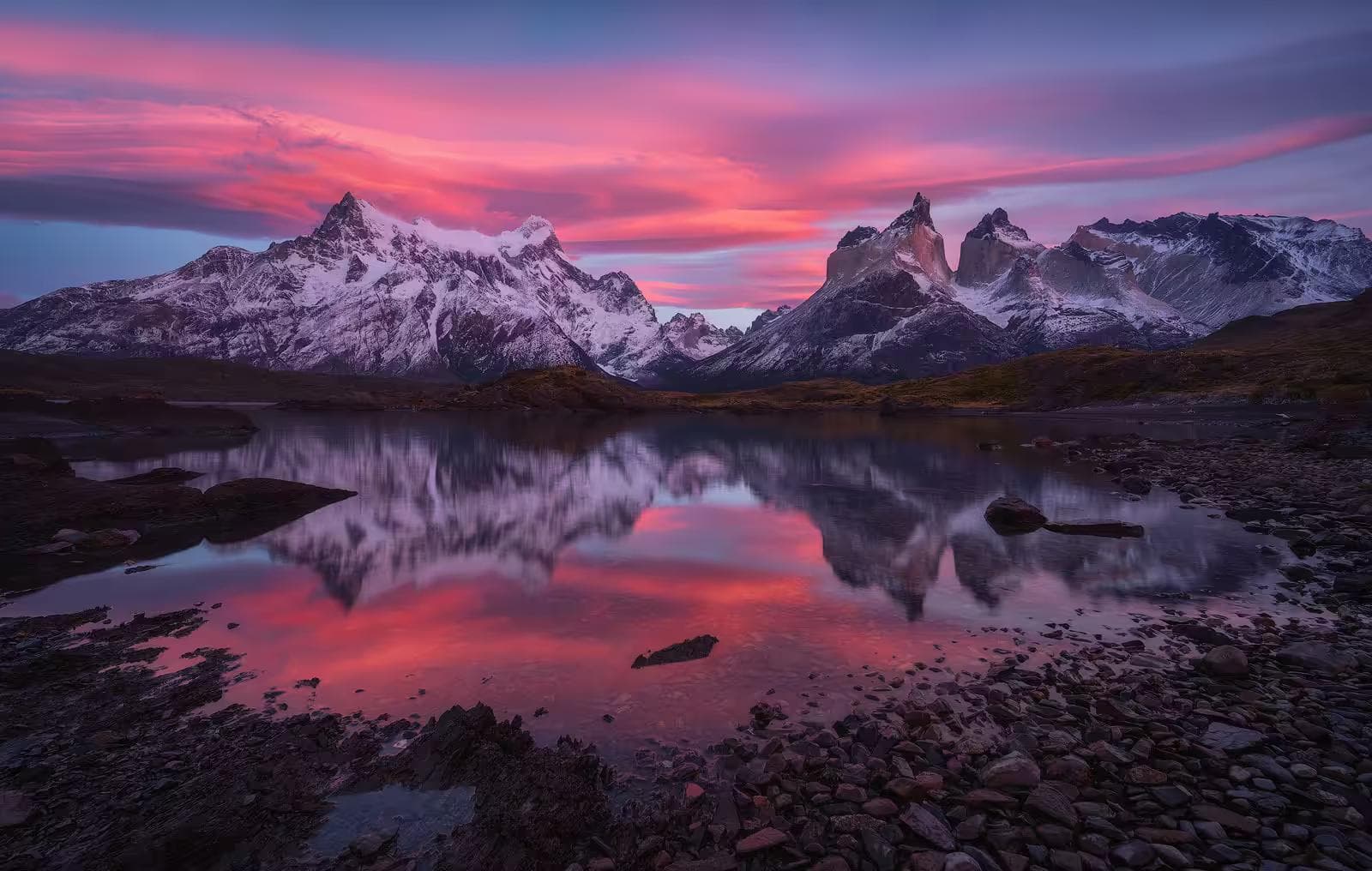
Cusco arrives at 3,400 meters, and the altitude makes itself known before the luggage does. The walk from the aircraft to the terminal produces a mild breathlessness that the distance does not justify. The taxi to the hotel feels longer than the map suggests. The first evening's dinner is eaten carefully, slowly, as though the stomach has not yet agreed to the elevation. This is the Andes announcing their terms, and the correct response — the one that determines the quality of the next five days — is to accept them without negotiation. Sleep early. Drink three liters of water. Resist the impulse to walk the San Blas neighborhood that first evening. The altitude will still be there in the morning, and so will the neighborhood.
The Lares Trek — a five-day route through the high valleys north of Cusco connecting Andean communities to the Sacred Valley and Machu Picchu — is the correct alternative to the Inca Trail for the intermediate trekker who wants genuine altitude, genuine culture, and a genuine physical experience without the Inca Trail's booking system, which closes months in advance and carries enough traffic that the path itself can feel institutional. The Lares passes through Quechua-speaking communities that have maintained agricultural and textile traditions largely unchanged since the Inca period, crosses two passes above 4,400 meters, and descends into the Sacred Valley with Machu Picchu as the logical final day. It is a more honest engagement with the Andean landscape than the southern tourist circuit provides.
01Before the Trek
Two full days in Cusco before the first walking day is the non-negotiable foundation of the itinerary. The altitude acclimatization protocol here is specific:
- Day one — rest, short walks only, no ascent above 3,500 meters, minimum 3 liters of water, mate de coca at every meal
- Day two — a gentle half-day walk to the Sacsayhuamán ruins above Cusco (3,700m) as an acclimatization test, return by noon, rest the afternoon
- Evening two — final gear check, food briefing with the agency, early sleep
Mate de coca — coca leaf tea, freely available throughout Peru and legal within the country — reduces mild AMS symptoms measurably. It is not a pharmaceutical solution to serious altitude sickness, but it addresses the headache and nausea of the first 48 hours at Cusco's elevation in a way that ibuprofen alone does not. Drink it without skepticism.
Agency & Permits
The Lares Trek requires a licensed guide — both for navigational reliability on the high passes and for the community relationships that make the cultural component of the route genuine rather than performative. Peru Treks, Apus Peru, and Andean Lodges all operate quality Lares programs with English-speaking guides and porter support. Budget USD $500–700 per person for a fully supported five-day program including transport, guide, porters, meals, and camping equipment. Independent trekking on the Lares is possible, but the pass navigation above 4,000 meters in cloud — which the dry season produces intermittently — is genuinely difficult without prior route knowledge.
Book the Machu Picchu entry ticket separately and in advance at machupicchu.gob.pe. Tickets are capped daily and sell out weeks ahead of time during April–June. The Lares Trek exits at Aguas Calientes — the village below Machu Picchu — on day four; on day five, the visit to Machu Picchu requires a pre-purchased timed entry slot. Do not assume tickets will be available on arrival.
02Day One: Cusco to Lares Valley
Drive: 3 hours to trailhead | Walk: 8km | Elevation: 3,800–4,100m | Time: 4–5 hours
The drive north from Cusco through the Sacred Valley passes Pisac and Calca before climbing into the Lares Valley — a narrow high-Andean drainage running northwest at 3,800 meters, its valley walls terraced with Inca agricultural platforms that are still farmed by the communities below. The trailhead at Lares village sits at 3,800 meters, and the afternoon walk climbs gently to the first camp at 4,100 meters through open puna grassland.
Puna Terrain
The puna — the high-altitude grassland ecosystem above 3,800 meters — is the Andes' dominant landscape above the valley floor and the terrain the Lares Trek inhabits for the majority of its length. The grass is ichu — a tough, dry, silver-green tussock that catches the afternoon light in waves when the valley wind moves through it. The surface underfoot is firm between the tussocks and unstable on their edges, producing an irregular stride that the Traverse Trekking Poles convert from an energy cost to a manageable rhythm. At 4,000 meters, where every additional energy expenditure is multiplied by the reduced oxygen availability, the poles' load distribution is a measurable physiological benefit rather than a comfort preference.
First Camp
The first camp at 4,100 meters is the highest sleeping elevation of the itinerary — higher than the passes on days two and three — and its purpose is acclimatization. Climb high, sleep high: the standard Andean protocol that compresses the body's altitude adaptation into a timeline that the five-day structure requires. The Thermagrid Fleece goes on as the sun drops below the valley wall — which happens abruptly in a narrow Andean valley, the temperature falling 15°C in 20 minutes as the solar angle clears the ridge. The fleece's grid construction holds warmth in the high-altitude wind that the camp's exposed position produces through the night. Layer it under the down jacket for the camp evening; wear it alone for the morning departure at 3,400 meters, equivalent thermal comfort.
03Day Two: First Pass — Abra de Lares (4,400m)
Distance: 14km | Elevation gain: 300m to pass, loss: 900m | Time: 6–7 hours
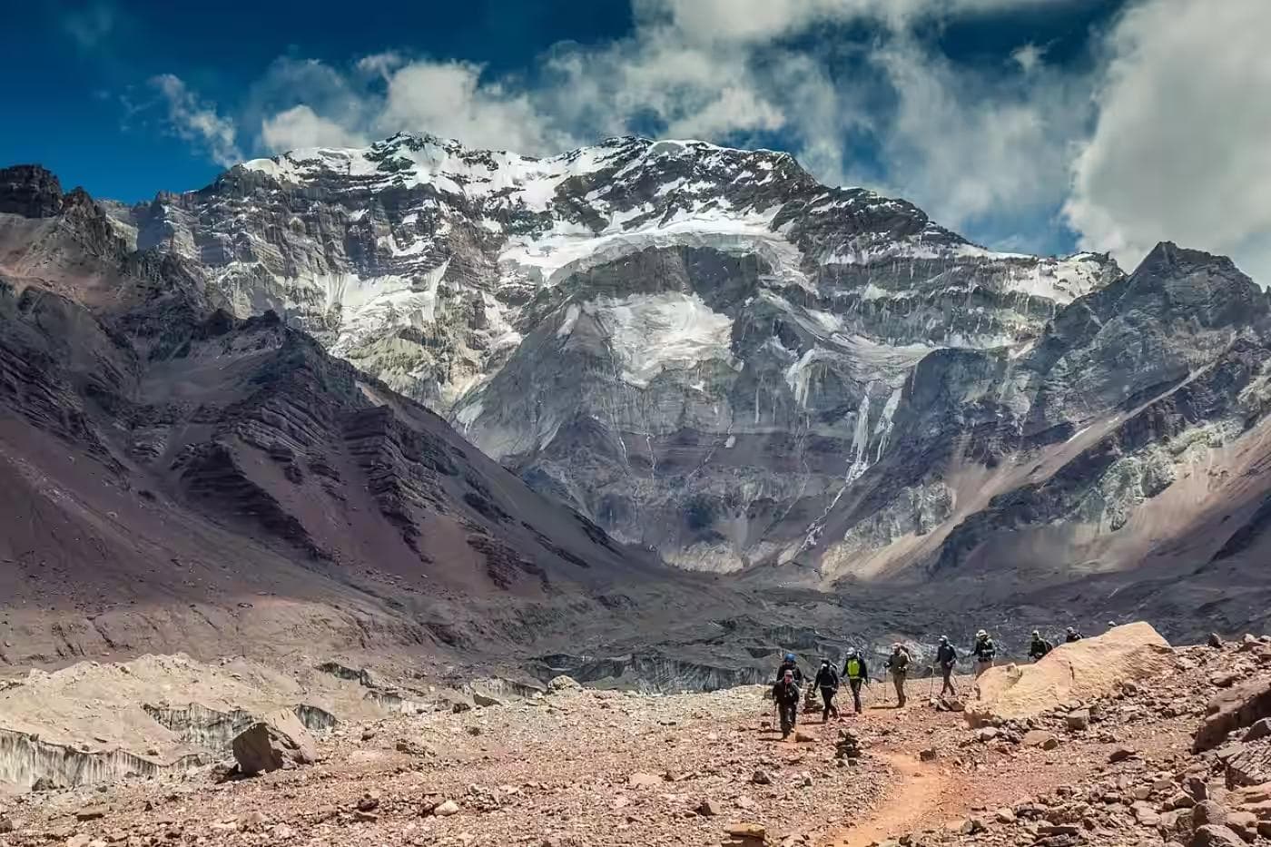
The second day crosses the Abra de Lares — the first high pass of the itinerary at 4,400 meters — and descends 900 meters into the Quiswarani valley. The ascent from camp to the pass covers 300 meters of elevation gain on a clear path through boulder field and residual snowpack that persists above 4,200 meters through May. The altitude on the final approach to the pass is felt in the breathing before it is felt in the legs — the rest step, the deliberate rhythm of inhale-exhale-step that experienced altitude trekkers use automatically, becomes necessary rather than optional above 4,300 meters.
Pass Conditions
The Abra de Lares at 4,400 meters is exposed, cold, and — in the dry season's intermittent cloud — sometimes invisible until the final 50 meters of approach. Cloud at the pass level in the Andes is not a weather event. It is a terrain feature that arrives and departs on its own schedule, independent of the valley conditions below. The SummitTraverse Pants cover the full pass section — worn from camp departure through the descent to Quiswarani, they handle both the below-zero wind chill at the col and the increasing warmth of the mid-morning valley descent without requiring a stop to change layers. The articulated knee cut manages the long descent's repeated step movement without the fabric binding that flat-cut hiking pants produce on sustained downhill terrain.
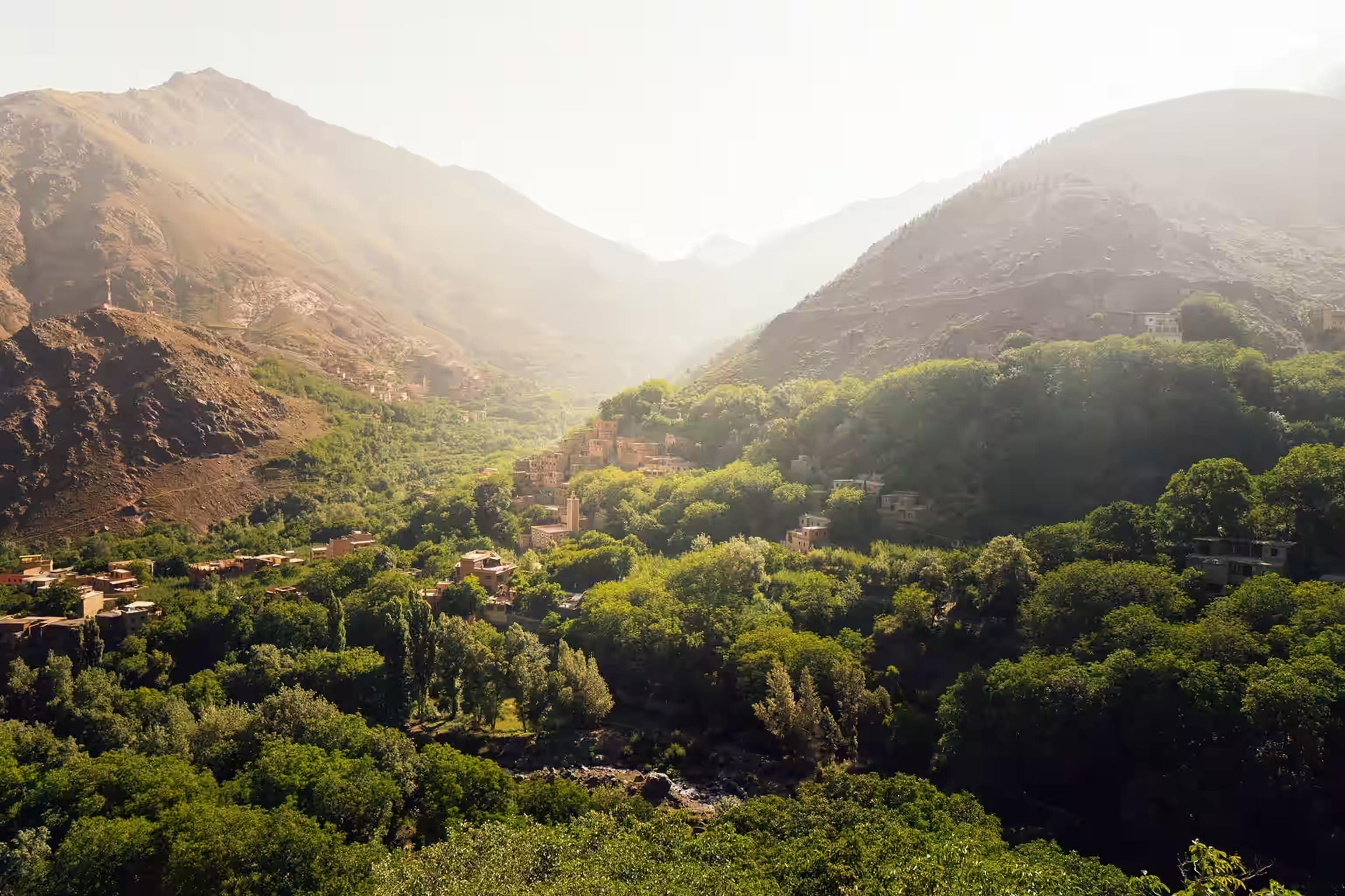
Quiswarani Community
The descent arrives at Quiswarani — a Quechua community at 3,500 meters — where the agency program includes a textile demonstration and a community lunch prepared by the village women's cooperative. The weaving here uses techniques and dye plants documented in the Inca period — the cochineal reds, indigo blues, and qewar yellows that appear in every pre-Columbian textile collection in every Andean museum. The interaction is not staged. The community participates in the trekking program economically, and the guide translates between Quechua and English with a fluency that contextualizes what the weaving demonstrates. Spend the full allocated time here. It is the most culturally specific experience the Lares provides and the one that the Inca Trail, on its own, cannot replicate.
04Day Three: Second Pass — Abra Huchuy (4,350m)
Distance: 12km | Elevation gain: 850m | Time: 6–7 hours
The third day is the hardest of the itinerary — not for its elevation, which is marginally lower than day two's pass, but for its cumulative position. Day three on any multi-day altitude route is the day the body's reserves have been drawn against for two consecutive nights above 4,000 meters, and the morning departure from camp is the one that requires the most deliberate pace management from the first step.
Alpaca Country
The ascent to Abra Huchuy passes through terrain that is the exclusive domain of herding communities — alpaca and llama in numbers that make the puna appear domesticated rather than wild, their owners invisible in the grass until a hat appears above a tussock ridge. The animals are accustomed to trekkers and ignore the passage entirely. The herders, less so — the guide's Quechua greetings produce exchanges that the Spanish-speaking trekker follows in structure if not in content, the social protocol of the high puna operating through tonal patterns that are identifiable across language.
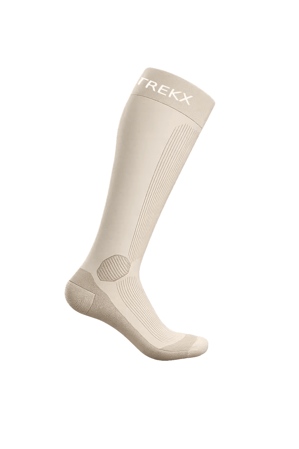
The Altitude Merino Socks
The Altitude Merino Socks deserve specific attention on day three. Two consecutive days of high-altitude walking in boots that have absorbed sweat, morning damp, and snowmelt from the pass approaches produce the blister conditions that synthetics accelerate and merino delays. The wool's moisture management keeps the foot surface drier than any synthetic equivalent at this level of cumulative use, and the cushioning at the heel and ball — worn in now to the specific foot shape that two days produce — has conformed in a way that a fresh synthetic sock never replicates. Change to the spare pair at the Abra Huchuy summit. The dry sock-on-a-wet-foot sensation at 4,350 meters is the small physical reward that makes the extra weight of a second pair worth carrying.
Persistent headache unresponsive to ibuprofen, loss of coordination, or any confusion at an altitude above 4,000 meters requires immediate descent regardless of itinerary position. AMS progresses to HACE without predictable warning signs at this elevation bracket. Inform the guide immediately of any neurological symptoms. The correct response is descent — not rest at altitude, not waiting for improvement. The guide carries supplemental oxygen; its use is not failure, it is correct altitude medicine.
05Day Four: Descent to Sacred Valley & Aguas Calientes
Distance: 16km descent + train | Elevation loss: 2,000m | Time: 5–6 hours walking
The fourth day exits the high puna entirely — a 2,000-meter descent from the Lares valley floor at 3,800 meters to the Urubamba River at 2,800 meters, then the Peru Rail Vistadome train from Ollantaytambo to Aguas Calientes through the cloud forest canyon of the Urubamba gorge. The descent through the cloud forest zone — where the puna's silver-green ichu gives way to bromeliads, tree ferns, and orchids within a 500-meter elevation drop — is the Andes' most compressed ecological transition, and it arrives after three days of high-altitude monochrome as a sensory overload.
Sacred Valley Floor
The valley floor at Urubamba carries the infrastructure of the Sacred Valley tourism circuit — hotels, restaurants, the Ollantaytambo Inca fortress — and the transition from three days of remote puna walking to this is jarring in a way that is clarifying rather than unwelcome. The Ollantaytambo fortress, built by the Inca emperor Pachacuti in the 15th century on a hillside above the valley, is the most intact Inca military site in Peru — the massive stone terraces and the unfinished Temple of the Sun visible from the train platform provide an architectural context for the agricultural terracing seen throughout the Lares approach. Spend 45 minutes at the site before boarding the Vistadome.
The Peru Rail Vistadome service from Ollantaytambo to Aguas Calientes takes 1 hour 45 minutes through the Urubamba gorge — glass ceiling carriages, cloud forest walls rising on both sides, the river below running green and fast from the cloud forest rainfall. Book the train before departure from Cusco; the Ollantaytambo–Aguas Calientes service fills with Machu Picchu visitors throughout the dry season.
The Aguas Calientes thermal baths are open until 10:00 pm and cost approximately $15 USD per entry. After four days of altitude camping, the thermal pools at 40°C are the physical recovery that the following morning's Machu Picchu ascent requires. Go directly from the train station. The town's main street restaurants serve trout from the Urubamba with a reliability and quality that make dinner there the obvious choice.
06Day Five: Machu Picchu
The fifth day is not a trekking day. It is the conclusion that the previous four days have been building toward — not in the dramatic sense that the Inca Trail frames it, but in the quieter sense that arriving at Machu Picchu after four days of walking through the communities and landscapes of its cultural context changes what the site means.
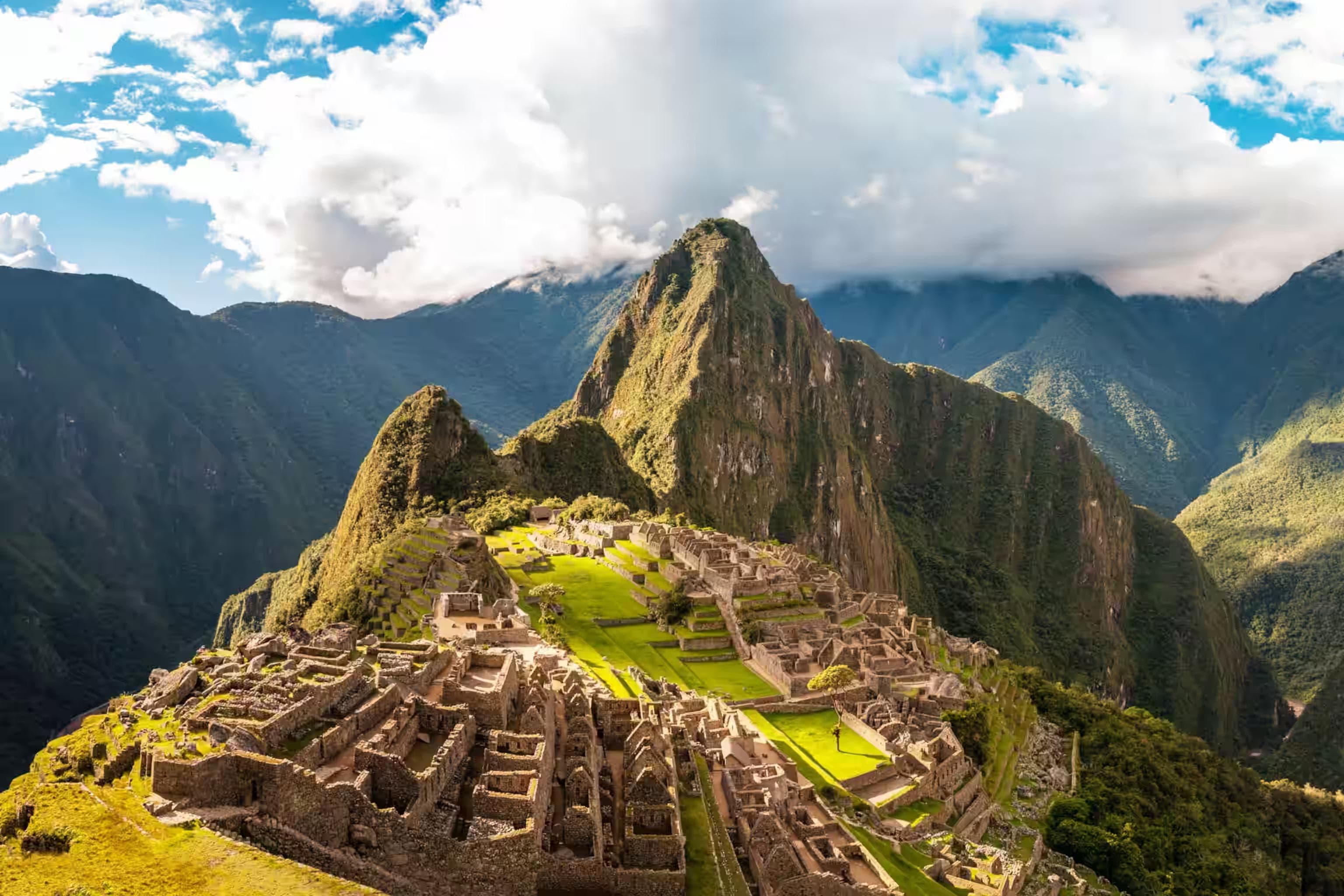
The Machu Picchu bus from Aguas Calientes departs from 5:30 am and reaches the citadel entrance in 25 minutes on a switchback road above the cloud forest. Enter with the first bus if the timed entry slot allows it — the citadel in the first hour before the tour groups arrive from Cusco carries a quality of stillness that the midday version does not. The Traverse Trekking Poles are permitted inside the citadel on the agricultural terrace paths; they are prohibited on the main stone circuit. Leave them at the entrance storage.
Spend the full morning. The Sun Gate (Inti Punku) — a 1.5-hour return walk from the citadel's eastern gate — provides the elevated view of the site that the entry-level platform does not, and the path there is the final section of the original Inca Trail. Standing at the Sun Gate with Machu Picchu visible below in the cloud forest clearing, after five days of walking through the landscape that produced and supported it, the site reads as a continuation of the journey rather than its destination. Which is, finally, the correct way to understand it.
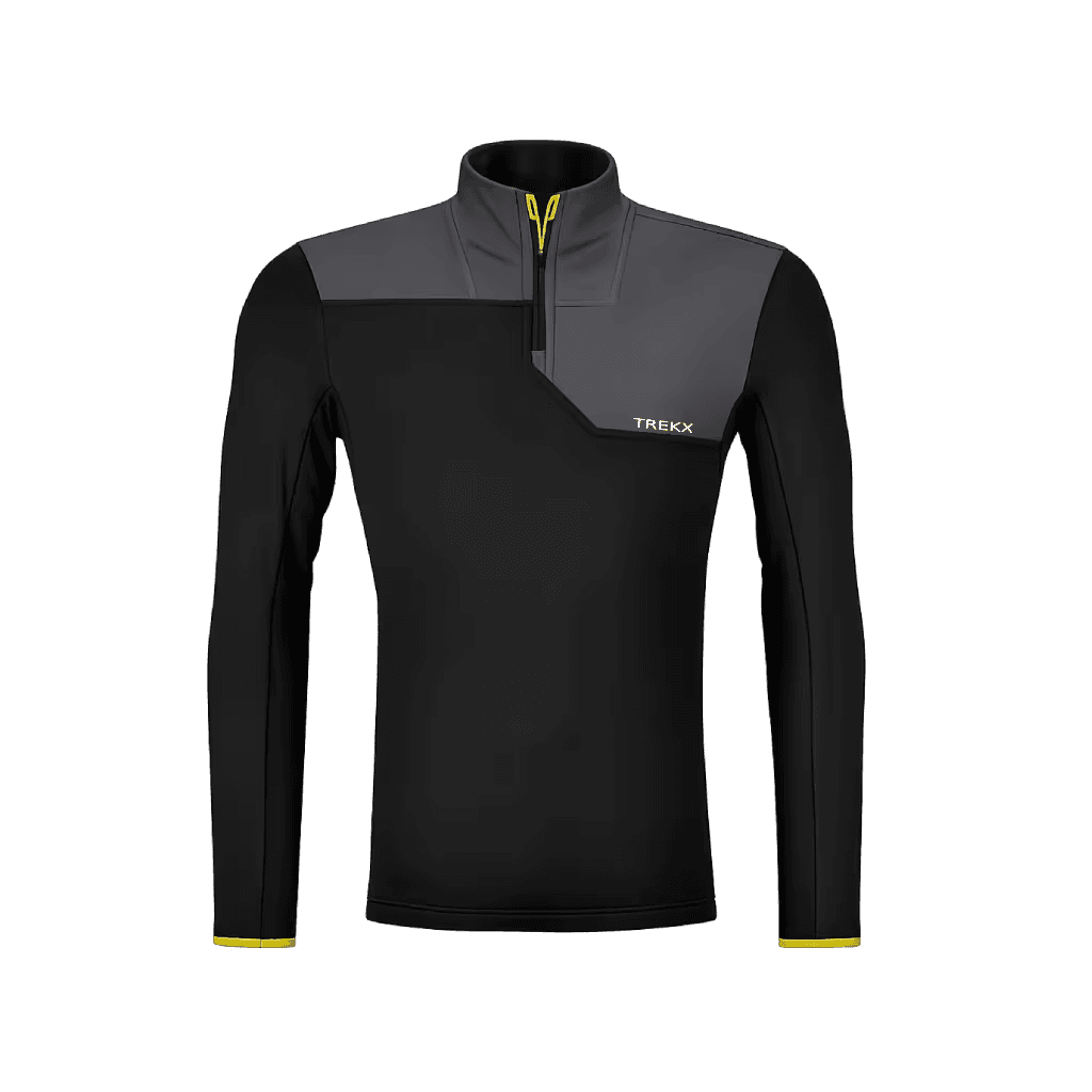
Thermagrid Fleece
Worn from the moment movement stops through dinner and into the sleeping bag transition across three consecutive nights above 4,000 meters
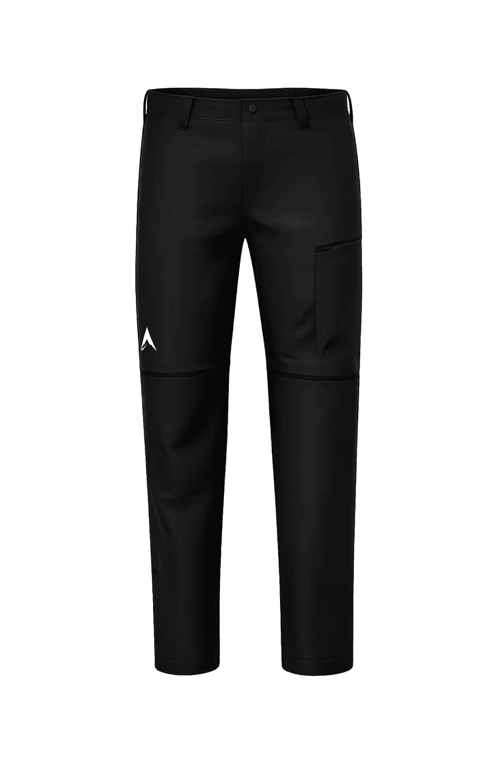
SummitTraverse Pants
Fabric weight covers the below-zero wind chill at 4,400 meters without requiring a change stop on the descent
Altitude Merino Socks
Manages moisture and conforms to foot shape across five consecutive days in altitude boots
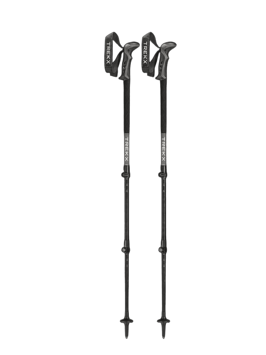
Traverse Trekking Poles
Converts puna tussock terrain and 900-meter descents from energy costs to managed movement