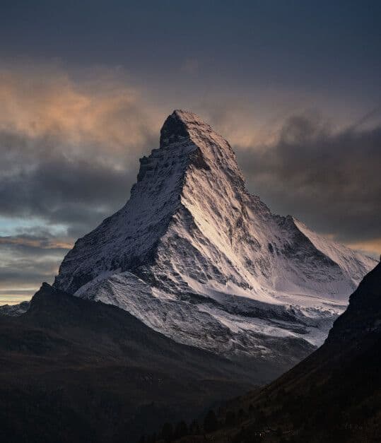
The Matterhorn does not look like a mountain that can be climbed. From the Zermatt valley floor, it rises 2,300 meters above the town in a near-vertical pyramid of dark rock and ice that the eye reads as a wall rather than a slope. Every photograph of it produces the same response in people who have not seen it in person: that cannot be real. In person, the response is different. In person, the scale resolves into something that the camera flattens — not just the height but the geometry, the overhanging north face, the ridgelines that appear horizontal from a distance and reveal themselves at closer range as 45-degree snow arêtes barely wide enough for a boot placement. The Matterhorn is 4,478 meters. It is not the highest peak in the Alps. It is the most technically demanding 4,000-meter objective in Europe, and it has killed more experienced alpinists than any other peak on the continent. Understanding both of those facts simultaneously — the accessibility of the elevation and the seriousness of the terrain — is the first qualification the mountain requires.
This guide covers the Hörnli Ridge route — the standard and most-attempted line on the Matterhorn, first climbed by Edward Whymper in 1865 — across a one-week framework that includes the acclimatization days in Zermatt, the technical preparation on lower alpine terrain, the hut approach, and the summit attempt. It is written for alpinists with documented experience on rock and mixed terrain above 3,500 meters, comfortable with exposure, competent in crampon technique, and capable of self-rescue on a fixed rope system. The Matterhorn on the Hörnli is not a trek. It is a mountaineering objective that requires the full technical vocabulary this guide's equipment list represents.
01The Preparation Framework
The Matterhorn guides' association in Zermatt — the Bergführerverband Zermatt — assesses every guided client's fitness and technical competency before confirming a summit attempt. The assessment is practical, not documentary: a guide will take a prospective client onto a lower route — typically the Riffelhorn or the Unter Gabelhorn — and observe their movement on rock and snow before agreeing to the Matterhorn attempt. A client who moves poorly on a 3,000-meter mixed route will not be taken on the Hörnli Ridge. This is not a commercial decision. It is a safety one, and it is non-negotiable regardless of payment.
The minimum documented competency for an independent Matterhorn attempt — without a guide — is considerably higher: UIAA Grade IV rock climbing on-sight, crampon proficiency on 45-degree ice, crevasse rescue capability, and prior Alpine experience above 4,000 meters. The majority of Matterhorn fatalities involve experienced trekkers who underestimated the technical demand. The mountain's fixed ropes give it a false accessibility — the ropes mark the route and provide clipping points, but they do not reduce the exposure, the rockfall risk, the summit ridge difficulty, or the consequence of a fall at altitude in deteriorating weather.
Guide Hire
For the scope of this guide, a licensed IFMGA mountain guide is the correct approach. Guide hire for the Matterhorn runs approximately CHF 1,200–1,800 for a private guided summit attempt including the hut night. Book through the Zermatt Guide Office at least three months ahead for July and August dates — the Hörnli Ridge has a daily summit capacity effectively limited by hut space and guide availability, and the best weather windows fill months in advance.
Zermatt Logistics
Zermatt is a car-free village at 1,620 meters in the Mattertal valley, accessible by Matterhorn Gotthard Bahn from Visp or Täsch — the last driveable point, 5 kilometers south of the village. The electric train runs continuously and the journey from Visp takes 75 minutes. Accommodation in Zermatt runs from budget dormitory at Youth Hostel Zermatt to mid-range hotel at Hotel Bahnhof — both work as operational bases for the preparatory days before the hut departure.
The Zermatt weather forecast from MeteoSwiss is the operational standard for Matterhorn weather decisions. Check it twice daily from arrival — morning and evening — and track the 72-hour trend rather than the daily snapshot. The Matterhorn summit weather diverges from valley conditions by 15–20°C and by wind speed factors that make a fine Zermatt morning compatible with an impossible summit condition simultaneously.
02Days One–Two: Zermatt Acclimatization
The first two days establish the physiological baseline and the technical assessment that the summit attempt requires. Zermatt at 1,620 meters is too low for meaningful altitude acclimatization — the work happens on the mountain terrain above the village, on objectives that simultaneously test the technical competency the Matterhorn demands.
Riffelhorn
The Riffelhorn at 2,931 meters — a compact rock peak above the Riffelberg plateau, 40 minutes from the Riffelberg gondola station — is the standard Zermatt acclimatization and assessment objective. The southwest ridge route (UIAA Grade II–III) covers 300 meters of mixed rock terrain with exposure on both sides and the Matterhorn visible across the Gorner Glacier throughout the ascent. The Riffelhorn serves simultaneously as an acclimatization gain to 2,931 meters and as a movement assessment in the technical terrain style that the Hörnli Ridge extends to a much longer and more exposed version.
The AeroShield Helmet is worn from the Riffelhorn trailhead. Rockfall on the Riffelhorn is less frequent than on the Matterhorn's Hörnli Ridge but not absent — the helmet habit established here transfers without negotiation to the summit route where rockfall from other parties above is the primary objective hazard throughout the ascent. The helmet is not equipment carried in the pack. It is worn from the moment the glacier approach begins.
Klein Matterhorn & Plateau Rosa
Day two takes the Matterhorn Glacier Paradise gondola to the Klein Matterhorn station at 3,883 meters — the highest cable car station in Europe — for a glacier walk on the Plateau Rosa at 3,500–3,800 meters. This is the crampon day: two hours on the glacier surface in FangGrip Crampons and Glacier Apex Boots, practicing the flat-footed technique on low-angle ice, the front-point technique on the 25-degree headwall below the Klein Matterhorn summit, and the ice axe arrest position with the Glacier Fang Ice Axe on a slope that the consequence of practice is a 20-meter controlled slide rather than an uncontrolled fall.
The crampon technique that functions on the Hörnli Ridge's icy sections is not learned on the route — it is learned here, in a controlled environment at relevant altitude, two days before the summit attempt. The guide assesses the client's crampon movement on the Plateau Rosa with the same eye they will apply to the technical sections above the Solvay Hut. If the crampon technique is uncertain on a 25-degree practice slope, it will fail on the 45-degree ice that the upper Hörnli produces after a cold night.
Altitude symptoms at 3,883 meters on the Klein Matterhorn — persistent headache, nausea, loss of appetite — require a full day at lower elevation before the hut departure on day three. The Hörnli Hut at 3,260 meters and the summit attempt at 4,478 meters are not appropriate objectives for a body demonstrating AMS. Inform the guide immediately. The summit attempt can be rescheduled; the physiological damage from pushing through developing AMS at altitude cannot be undone on the mountain.
03Day Three: Zermatt to Hörnli Hut
Distance: 9km | Elevation gain: 1,640m | Time: 4–5 hours
The approach to the Hörnli Hut at 3,260 meters begins at the Schwarzsee Paradise gondola station at 2,583 meters — a 40-minute gondola ride from Zermatt that eliminates the lower valley approach and positions the team at the relevant elevation for the afternoon ascent to the hut.
The Approach Path
From Schwarzsee, the path climbs the Matterhorn Glacier Trail through moraine and consolidated rock to the hut at the base of the Hörnli Ridge. The terrain is well-marked and requires no technical equipment on this section — but the exposure increases steadily as the path traverses below the Matterhorn's east face, and the scale of the summit objective above becomes progressively less abstract with each hour of approach. By the time the Hörnli Hut appears on the ridge above, the mountain is no longer a postcard view. It is directly overhead.
Hörnli Hut
The Hörnli Hut at 3,260 meters sleeps 130 in tiered bunks and is the most operationally important structure in Zermatt alpinism. Dinner is served at 6:00pm. The alarm sounds at 3:30am. Everything between those two events — equipment organization, crampon attachment practice in the dark, rope system check — determines the quality of the next morning's ascent. Lay out the full technical system before dinner: harness fitted and checked, Apex Alpine Harness adjusted for the layering system worn on the ascent, TitanLock Carabiners racked on the harness belay loop, Vertical Core Ascender Kit accessible in the top lid of the pack, AnchorLine Static Rope coiled and attached.
The guide checks the client's system after dinner. This is not a formality. A misthreaded harness belay loop, a carabiner gate left unlocked, a crampon binding adjusted for the boot without the gaiter — each of these is the category of error that the 3:30am alarm and the excitement of the summit morning produces in experienced alpinists. The check is the system that prevents it.
Eat the full Hörnli Hut dinner regardless of appetite. The summit day burns approximately 3,000–4,000 calories and begins before breakfast is available. The guide will carry a small provision — chocolate, nuts, a thermos of tea — for the summit section, but the hut dinner is the primary fuel source for the first six hours of climbing. Force appetite if necessary. The altitude suppresses it; the climbing demands it anyway.
04Day Four: The Summit Attempt
Elevation gain: 1,218m | Technical grade: UIAA IV | Time: 5–7 hours ascent, 3–5 hours descent
The alarm at 3:30am produces a hut that converts from dormitory to expedition staging area in 20 minutes — headlamps moving in the dark, the smell of instant coffee, the specific sound of crampon points on stone floor as teams file out onto the ridge in the pre-dawn cold. The temperature at the Hörnli Hut at 4:00am in July averages -8°C. The wind at the summit, 1,200 meters above, is typically twice what the hut terrace suggests.
Lower Hörnli Ridge
The first section of the Hörnli Ridge from the hut to approximately 3,800 meters follows a well-worn path on the crest and just below it — loose rock, fixed rope sections at the steeper steps, the exposure building with each pitch but the difficulty remaining at Grade II–III on clean dry rock. The Strata Alpine Softshell is the active climbing layer for this section: the exertion of sustained uphill movement on technical terrain produces sufficient body heat to make a hardshell a thermal management problem rather than a protection solution below the snowline. The softshell's wind resistance handles the ridge exposure without the overheating that a sealed membrane produces during active technical climbing.
The Vertex Quickdraw Set is deployed on the fixed rope sections — clipping the quickdraw to the fixed rope and the other end to the harness belay loop provides a running belay that the rope team manages without full pitch-by-pitch belaying on the lower section's moderate terrain. The clipping technique with the TitanLock Carabiners must be automatic by this point — the guide moves continuously on the lower ridge and the client clips and unclips without breaking movement rhythm.
The Yellow Tower
At approximately 4,000 meters, the Hörnli Ridge reaches the Yellow Tower — a section of compressed, overhanging rock that requires genuine climbing technique: hands on positive holds, feet on footholds that require precise crampon placement on rock rather than ice, body position managed through a move sequence that the fixed ropes assist but do not execute. The Glacier Fang Ice Axe is carried on the pack here — the rock sections require free hands — and deployed on the snow and ice sections above the Yellow Tower where the ridge transitions from rock to the mixed terrain that characterizes the upper mountain.
Solvay Hut
The Solvay Emergency Hut at 4,003 meters — a six-person emergency shelter bolted to the ridge — is the psychological and physiological midpoint of the ascent. It is the last point at which the turnaround decision is straightforward. Above the Solvay, the terrain becomes consistently steeper, the exposure increases significantly, and the retreat in deteriorating conditions becomes progressively more technical. Assess the team's condition here: pace, warmth, weather trend, time. If any of the four is wrong, the Solvay is the correct turnaround point. Reaching it is not failure — it is 4,003 meters on the Matterhorn, which is a full alpine day by any measure.
Upper Ridge & Summit Arête
Above the Solvay, the Hörnli Ridge steepens to its defining character. The rock becomes less reliable — colder, sometimes iced, the holds smaller and the consequences of a miss larger. The FangGrip Crampons are in continuous use from the first ice section above 4,100 meters through the summit arête. The Glacier Apex Boots' crampon compatibility and stiff sole provide the platform that technical crampon placement requires — a flexible boot on the upper Hörnli's 45-degree ice is the equipment failure that converts a difficult section into an uncontrolled one.
The Vertical Core Ascender Kit manages the steepest fixed rope sections above 4,200 meters — the ascender's handled grip allows upward progress on near-vertical rope sections with the efficiency that pure arm-strength hauling does not sustain at altitude after four hours of climbing. The descender function is equally critical on the return: the upper Hörnli in descent, with fatigue and potentially deteriorating weather, is where the majority of Matterhorn accidents occur. The ascender-descender system provides the controlled descent speed that tired legs cannot maintain on steep fixed rope without mechanical assistance.
The Summit
The Matterhorn summit at 4,478 meters is a snow and rock arête approximately 8 meters long and 1 meter wide — a ridge so narrow that two people cannot stand on it side by side comfortably, with the north face dropping 1,800 meters to the Zmutt Glacier on the left and the east face dropping 2,000 meters to the Gorner Glacier on the right. The turnaround time from the summit is 10:00am in summer — afternoon thunderstorm development in the Alps makes the upper ridge's lightning exposure a genuine risk above this hour, and the descent to the Hörnli Hut takes 3–5 hours from the summit in normal conditions.
The summit view — the entire Valais Alps, the Monte Rosa massif, the Weisshorn, the Bernese Oberland visible to the north — is the widest alpine panorama accessible from a single summit in Switzerland. Most climbers spend less than 10 minutes on it. The turnaround time, the weather, and the exposed position of the arête impose a discipline on the summit experience that the valley view does not.
Rockfall on the Hörnli Ridge is caused primarily by other climbing parties above — dislodged stones from crampon placements and hand movements on the deteriorating rock. The AeroShield Helmet is the protection against the rockfall that the guide cannot prevent and the route cannot eliminate. Position on the ridge to minimize exposure to the fall line of parties above — hug the ridge crest rather than the open face below it, and move quickly through the sections below other teams. Rockfall on the Hörnli has caused more fatalities than falls.
05Day Five: Zermatt Recovery & Debrief
The descent from the summit to the Hörnli Hut takes 3–5 hours — longer and more technically demanding than the ascent for most teams, because the downclimbing technique on steep rock and ice in fatigue is a different skill set from the upward movement that the morning's focus produced. The guide leads the descent. Follow exactly. The fixed ropes on the lower ridge, familiar from the ascent, appear different in descent — the clip sequence reverses, the footing angles change, and the exposure that was behind the body on the way up is in front of it on the way down.
Return to Zermatt from the Hörnli Hut via the gondola at Schwarzsee. The guide debrief — conducted over coffee in Zermatt before the evening meal — covers the technical performance, the conditions encountered, and the decisions made at each critical point. This debrief is the most operationally useful conversation of the expedition. The guide's assessment of what worked and what requires development before a future attempt is the information that no self-assessment produces accurately in the immediate aftermath of a summit.
06Days Six–Seven: Monte Rosa Traverse Option
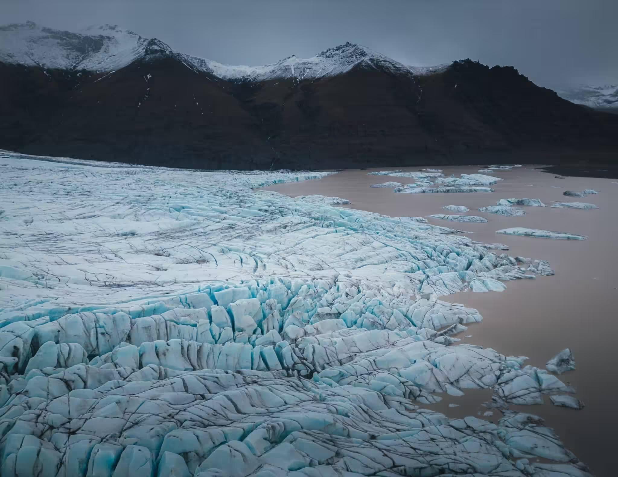
For teams with energy and weather remaining, the Monte Rosa traverse — connecting Zermatt to the Grenzgletscher and the Capanna Margherita at 4,554 meters on Signalkuppe — provides a two-day extension that uses the full technical equipment set in a different high-alpine context. The traverse is a glacier route rather than a rock route, with crevasse navigation, rope team travel on moderate glacier terrain, and the highest permanently occupied building in the Alps as the overnight destination.
The AnchorLine Static Rope and the rope team system from the Matterhorn ascent apply directly to the Grenzgletscher crossing — the crevasse spacing and depth on the summer glacier require roped travel throughout. The Glacier Fang Ice Axe and FangGrip Crampons cover the full traverse terrain. The Monte Rosa extension converts a one-week Matterhorn visit into a complete high-alpine education — technical rock on the Hörnli, glacier travel on the Grenzgletscher, and the highest hut in the Alps as the closing experience before the return to Zermatt.
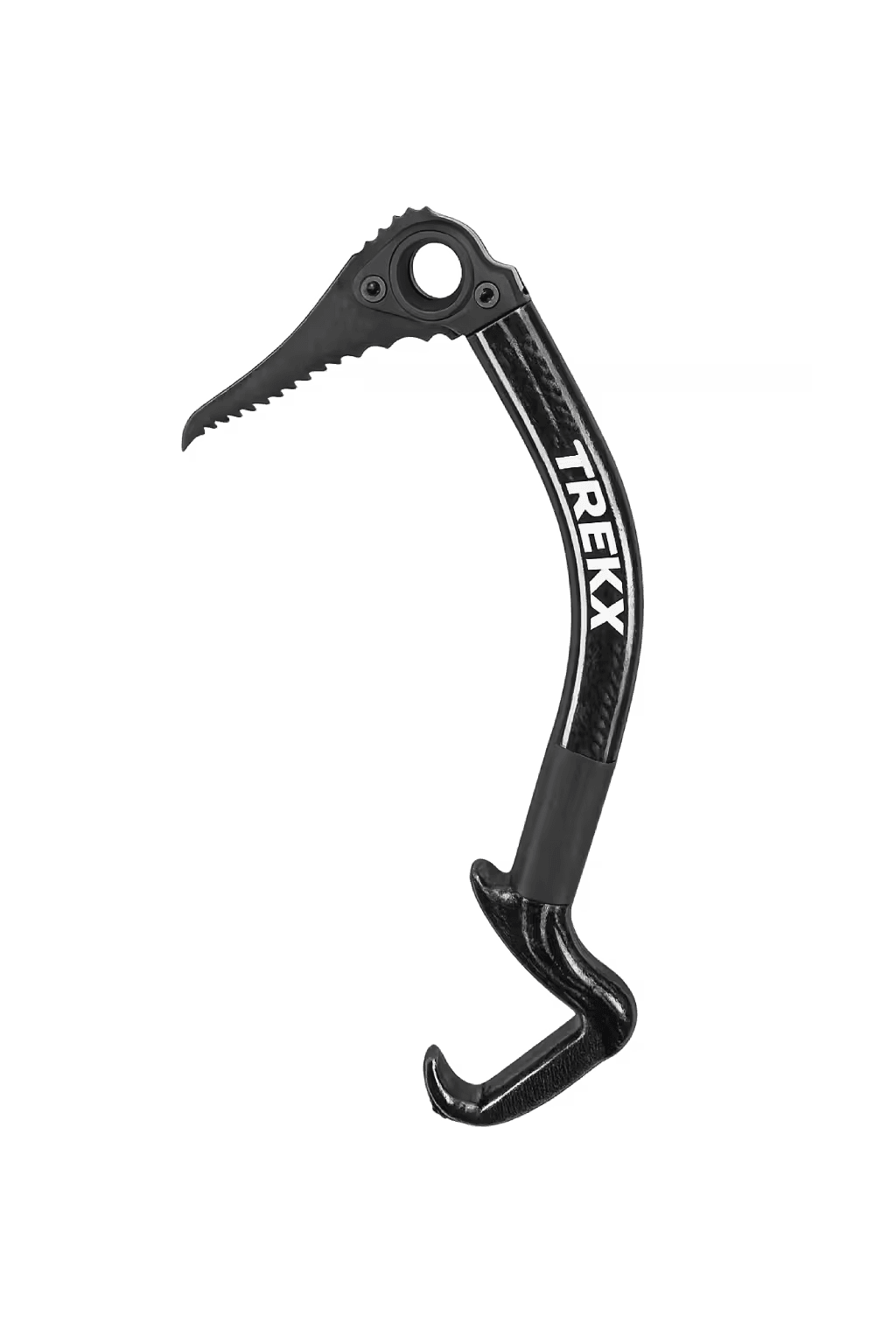
Glacier Fang Ice Axe
Self-arrest tool and snow anchor on the upper Hörnli Ridge ice sections
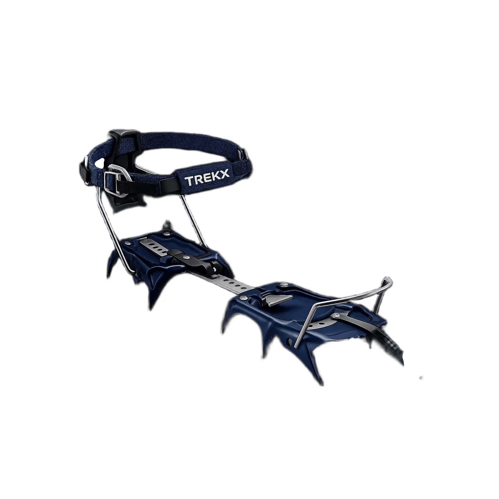
FangGrip Crampons
Technical crampon placement on the 45-degree ice of the upper Hörnli Ridge
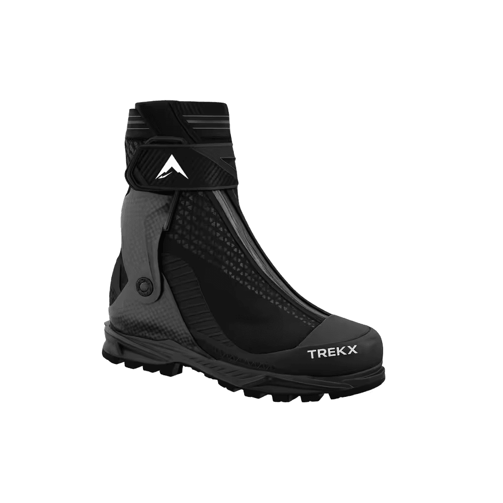
Glacier Apex Boots
Crampon-compatible stiff sole for technical ice placement on the upper ridge
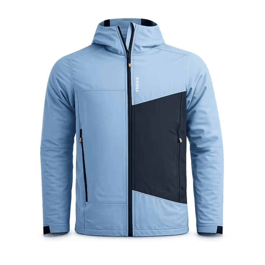
Strata Alpine Softshell
Wind resistant on the ridge exposure, breathable through the physical effort that four hours of ascent demands
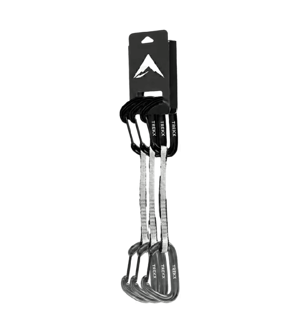
Vertex Quickdraw Set
Running belay system on the fixed rope sections from the hut to the Yellow Tower
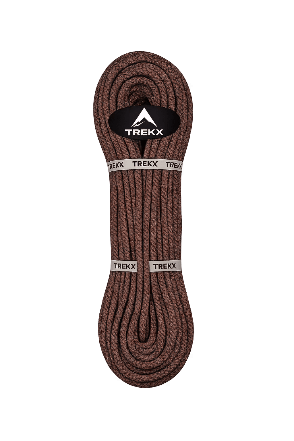
AnchorLine Static Rope
Rope team connection for the Matterhorn approach glacier sections and the Monte Rosa traverse
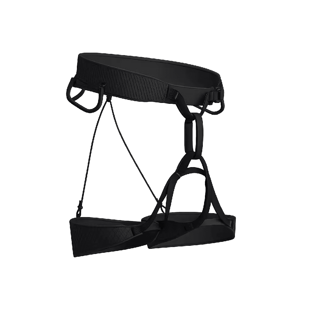
Apex Alpine Harness
The connection point between the climber and every fixed rope, quickdraw, and belay system on the Hörnli Ridge
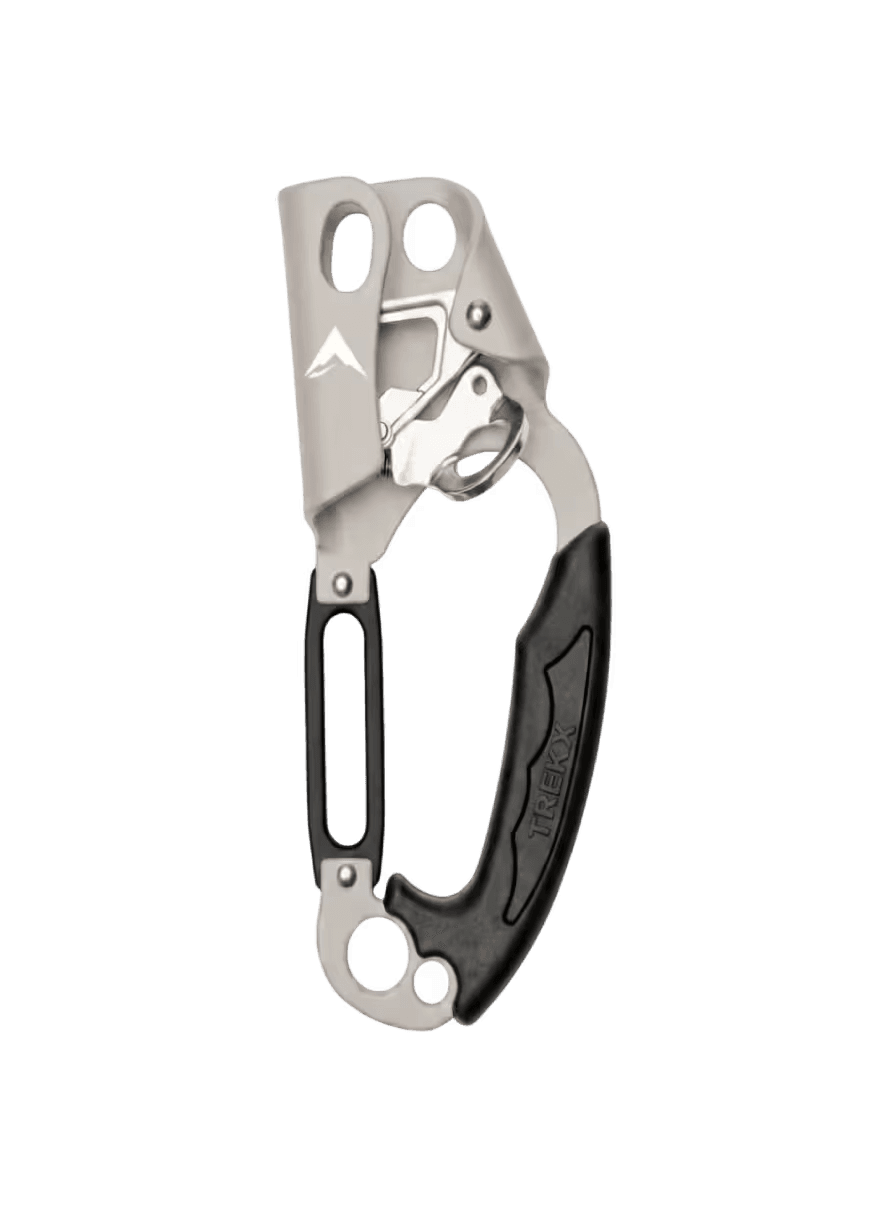
Vertical Core Ascender Kit
Managed ascent and controlled descent on the near-vertical fixed rope sections above 4,200 meters where arm strength alone does not sustain
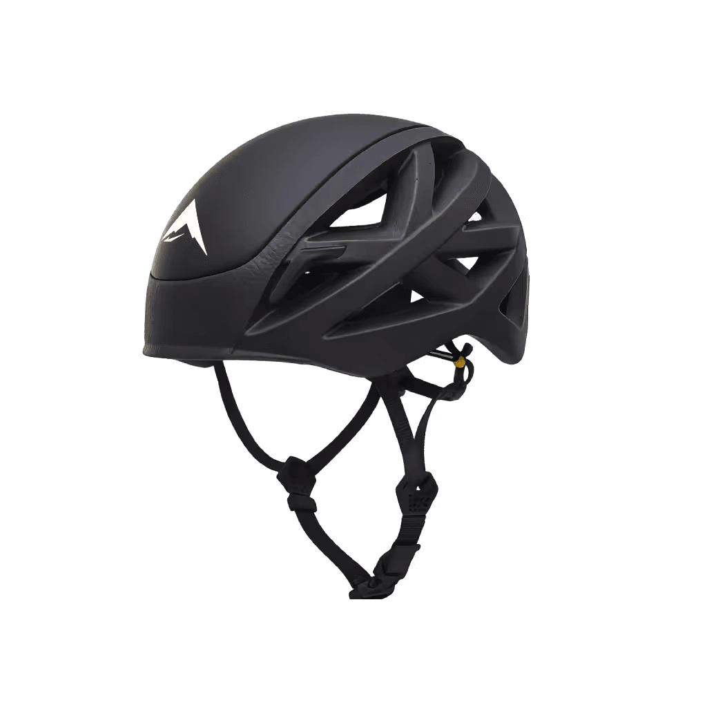
AeroShield Helmet
Rockfall protection from the Riffelhorn acclimatization day through the full Hörnli Ridge ascent
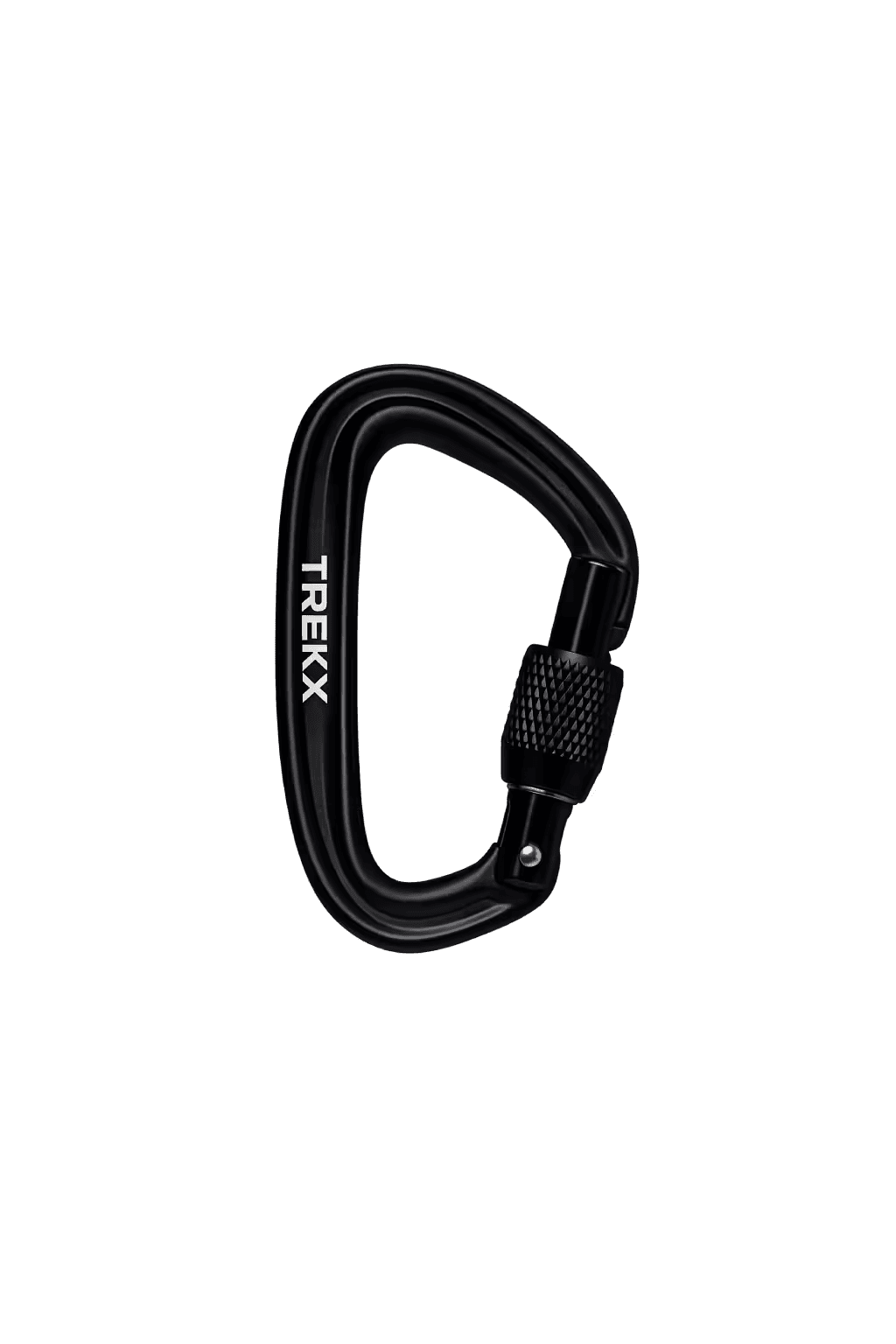
TitanLock Carabiner
Locking connection point for every fixed rope clip, belay device attachment, and anchor system from the hut to the summit