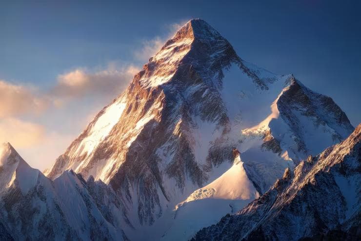
K2 does not have the cultural architecture that Everest has built around itself. There is no Namche Bazaar, no Tengboche Monastery, no Saturday market, and no bakery culture softening the approach. The Baltoro Glacier — 63 kilometers of moving ice from Askole to Concordia, the highest concentration of 8,000-meter peaks on earth arranged around a single glacial amphitheatre — is simply one of the most remote and physically demanding approach routes in high-altitude mountaineering. It ends at a mountain that has killed one in every four people who have attempted its summit. The ratio is not a statistic to compare with Everest. It is a description of the mountain. K2 is technically harder, meteorologically more violent, and logistically more isolated than any other 8,000-meter peak. It earns the title the mountain community has given it — the Savage Mountain — not through drama but through consistent, documented honesty about what happens when conditions deteriorate above 7,000 meters on its slopes.
This guide covers the K2 Base Camp expedition at 5,100 meters: the permit system, the Islamabad-to-Askole approach, the Baltoro Glacier crossing to Concordia and K2 Base Camp, and the high-camp rotation to Camp II at 6,700 meters for acclimatization purposes. The summit is a separate undertaking that requires a separate expedition identity — one built on 8,000-meter summit experience, technical ice and mixed climbing competency, and a risk tolerance that this guide does not advocate for. What is described here is the approach and the lower mountain, which are consequential enough to warrant the full advanced category without the summit.
01Expedition Foundation
K2 climbing permits are issued by the Pakistan Alpine Club in coordination with the Ministry of Tourism, Pakistan. The K2 climbing permit — required for any attempt above Base Camp — costs USD $2,000 per person for groups up to six climbers. The Liaison Officer fee — a Pakistan Army officer attached to every expedition by regulation — costs approximately USD $4,000 for the full expedition duration and is non-negotiable. The Ministry of Tourism issues royalty certificates that must be presented at the Askole trailhead checkpoint before the glacier entry.
For Base Camp trekking without summit intent — the scope of this guide — a trekking permit to Concordia is required rather than a climbing permit, issued through a licensed Pakistan trekking agency. The cost is approximately USD $50 per person, but the agency requirement is absolute: no independent foreign trekker is permitted on the Baltoro Glacier without a registered Pakistan agency handling logistics.
Agency Selection
Three agencies with documented Baltoro operational capacity:
- Jasmine Tours Pakistan — the longest-operating Karakoram agency, Baltoro Logistics, established over 40 years ago
- Adventure Tours Pakistan — strong porter welfare record, important for an ethical expedition
- Concordia Expeditions — a smaller operation with higher guide-to-client ratios
The porter welfare question is not secondary to logistics on the Baltoro. The Balti porters who carry loads from Askole to Base Camp — crossing a 63-kilometer glacier at altitude in conditions that change daily — operate under the Karakoram Porter Standards framework. Verify that the chosen agency complies with equipment and wage requirements before signing. The expedition's operational dependence on the porter team makes their welfare a practical concern as well as an ethical one.
Insurance
Helicopter evacuation insurance to 5,100 meters is the minimum required coverage. Above Base Camp, helicopter operations are not reliably possible in Karakoram weather. The evacuation from high camps, if required, is on foot or by Sherpa/high-altitude porter carry to Base Camp. Global Rescue remains the most operationally proven provider for Pakistan Karakoram expeditions.
The K2 Base Camp approach crosses several active avalanche zones on the Baltoro Glacier, particularly between Urdukas camp and Goro II. The Avalanche Response System and SkyShield Airbag Pack are not precautionary items on this approach — they are the response infrastructure for the documented avalanche frequency on the lower Baltoro during July, when heat-destabilized seracs above the glacier shed load without the visual warning that alpine avalanche terrain typically provides. Deploy the airbag pack from Paiju camp onward.
02Islamabad to Askole
The expedition begins in Islamabad — the administrative capital, where the Ministry of Tourism permits registration, the Pakistan Alpine Club check-in, and the final equipment consolidation all take place over three to four days before the road departure. The Serena Hotel Islamabad or Margalla Hotel works as an operational base for the paperwork days. The permit process involves physical presence at the Ministry office on Constitution Avenue — allow a full day for it, not a morning.
The Karakoram Highway
From Islamabad, the expedition drives north on the Karakoram Highway — the 1,300-kilometer road connecting Pakistan to China via the Khunjerab Pass, built through the Indus Gorge at one of the most geologically active road corridors in the world. The drive to Skardu takes 16–20 hours by jeep or 1 hour by PIA flight when the Skardu route operates — which it does not on every day, in every season, in every weather window. Book the flight with a jeep backup confirmed. The flight saves two days. The jeep is the contingency that every expedition needs to be confirmed before the flight is cancelled at 6:00 am.
Skardu — the administrative capital of Gilgit-Baltistan at 2,228 meters — is the final resupply point. The K2 Motel or Concordia Motel serves as a pre-glacier base. Spend two nights here: one for resupply and gear reorganization into the Titan Hauler Duffel load system, one for rest before the jeep road to Askole.
The jeep road from Skardu to Askole — 8 hours in a modified Toyota Land Cruiser on a road that abandoned the concept of maintenance somewhere around the third decade — covers 160 kilometers through the Braldu Gorge. The road hugs the canyon wall above the Braldu River at a distance from the edge that the suspension travel of the vehicle occasionally revisits. It ends at Askole at 3,050 meters — the last permanently inhabited settlement before the glacier.
Pack the day pack separately from the main duffel for the Askole jeep day. The jeep roads produce enough lateral movement to make accessing a main duffel during transit impractical. Water, snacks, camera, and the first day's medication should travel in a separate accessible bag from Skardu to Askole.
03Askole to Concordia: 7 Days
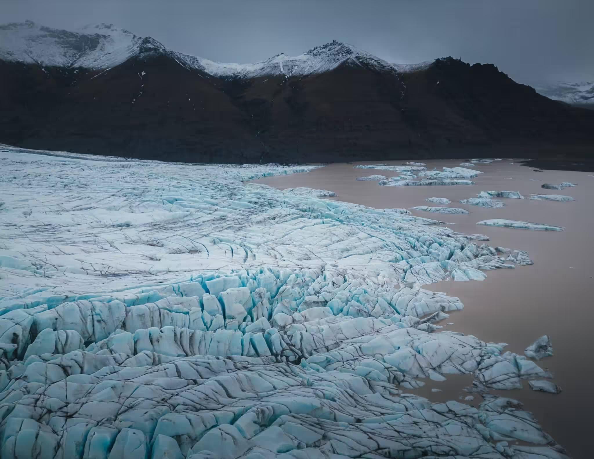
The Baltoro approach is one of the great wilderness walks on earth — 63 kilometers of glacier travel through a landscape that the Karakoram's geological violence has produced: peaks rising 3,000 meters from the glacier surface on both sides, moraines the scale of small hills, the glacier surface shifting between stable ice highway and ankle-testing rubble depending on the day's heat and the previous night's refreeze.
The standard camp schedule:
- Jhola => 3,150m
- Paiju => 3,400m
- Rest day Paiju => 3,400m
- Khoburtse => 3,820m
- Urdukas => 4,050m
- Goro II => 4,350m
- Concordia => 4,600m
- K2 Base Camp => 5,100m
The rest day at Paiju is the last day of flat ground, flowing water, and vegetation the expedition will see until the return. The Paiju camp is a grassed flat beside the Braldu River's terminal braiding, the last trees — desert scrub willow — visible on the far bank. Everything above Paiju is glacier, moraine, and rock. Treat the rest day as the acclimatization and preparation day it is, not as a spare day.
Glacier Movement
The Baltoro Glacier moves at 10–15 centimeters per day in summer, which means the campsite chosen at Goro II at 6:00 pm has moved 10 centimeters from its GPS position by morning. This is not navigationally significant for a camp, but it is operationally significant for a tent pitched across a crevasse that the ice movement opens overnight. The agency selects and inspects camp positions; the expedition team confirms the tent ground with a pole probe before staking. On an active glacier, this is the habit that the first night teaches and that subsequent nights must not allow to lapse.
Gear on the Glacier
The TerraLite Ground Sheet deploys under the Glacier Fortress Tent at every glacier camp. The ice surface beneath the tent platform is not stable insulation — it is a cold sink that draws warmth from the sleeping system regardless of the bag's rated temperature. The ground sheet's insulation layer between ice and tent floor reduces the heat transfer by a margin that becomes measurable as a sleep quality difference by the third consecutive glacier camp. The SummitCore Expedition Bag rated to -20°C performs to its specification on a ground sheet. On bare glacier ice, it performs to approximately -12°C.
The Glacier Fortress Tent is the shelter system that the Karakoram summer weather — violent, directionally inconsistent, capable of producing 80 km/h gusts on a clear day from apparent stillness within 20 minutes — tests without mercy. A four-season tent is rated by the worst conditions it is designed to withstand. On the Baltoro in July, those conditions arrive without a forecast. Guy wire every stake on every setup. The tent that was not fully staked at 10:00 pm in calm conditions is the tent that the 2:00 am gust converts into a structural problem.
04Concordia
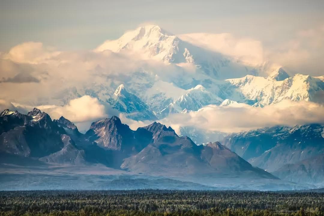
Concordia at 4,600 meters is the glacial confluence where the Baltoro and Godwin-Austen glaciers meet — and where the full Karakoram 8,000-meter collection becomes simultaneously visible for the first time: K2 to the north, Broad Peak to the northeast, the Gasherbrums to the east, Chogolisa to the south. Four 8,000-meter peaks and several 7,000-meter peaks in a single visual sweep. The mountain community calls it the Throne Room of the Mountain Gods, which is accurate enough that the name requires no improvement.
The TerraNav Pro GPS is in active use from Concordia onward — the moraine navigation between Concordia and K2 Base Camp follows a route that the glacier surface obscures, and the guide marks. In low cloud or early morning darkness, the GPS track is the primary navigation tool between the two camps.
K2 Base Camp
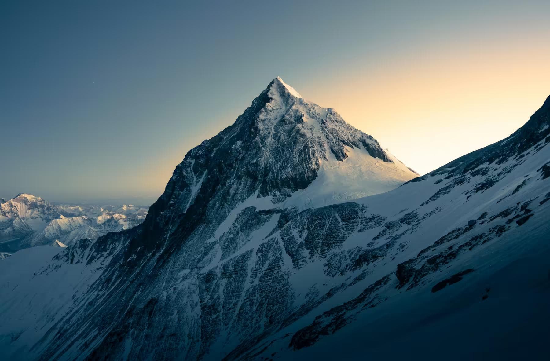
K2 Base Camp at 5,100 meters sits at the foot of the Godwin-Austen Glacier, directly below the mountain's south face. The scale of K2 from Base Camp is categorically different from any visual representation of it. The south face — the Abruzzi Spur route rising 3,500 meters from the glacier to the summit — is not a slope or a wall. It is a different category of vertical that the eye takes several days to calibrate to, without simply refusing the information.
The expedition camps here for the Base Camp component — managing the high-camp rotation to Camp I and Camp II for acclimatization, assessing weather windows with the Meteo Mountain Forecast K2 service, and developing the mountain-specific understanding that the approach does not provide. Base Camp on K2 is not a comfortable place. The glacier beneath it moves, the weather above it builds without forecast accuracy, and the mountain in front of it is visibly large in a way that produces a recalibration of ambition that no amount of preparation prevents.
05Camp I & Camp II
The acclimatization rotation for a Base Camp expedition within this guide's scope reaches Camp II at 6,700 meters on the Abruzzi Spur — the fixed rope section above the House's Chimney, a 25-meter near-vertical rock step at 6,000 meters that the expedition's Balti high-altitude porters equip with fixed rope each season.
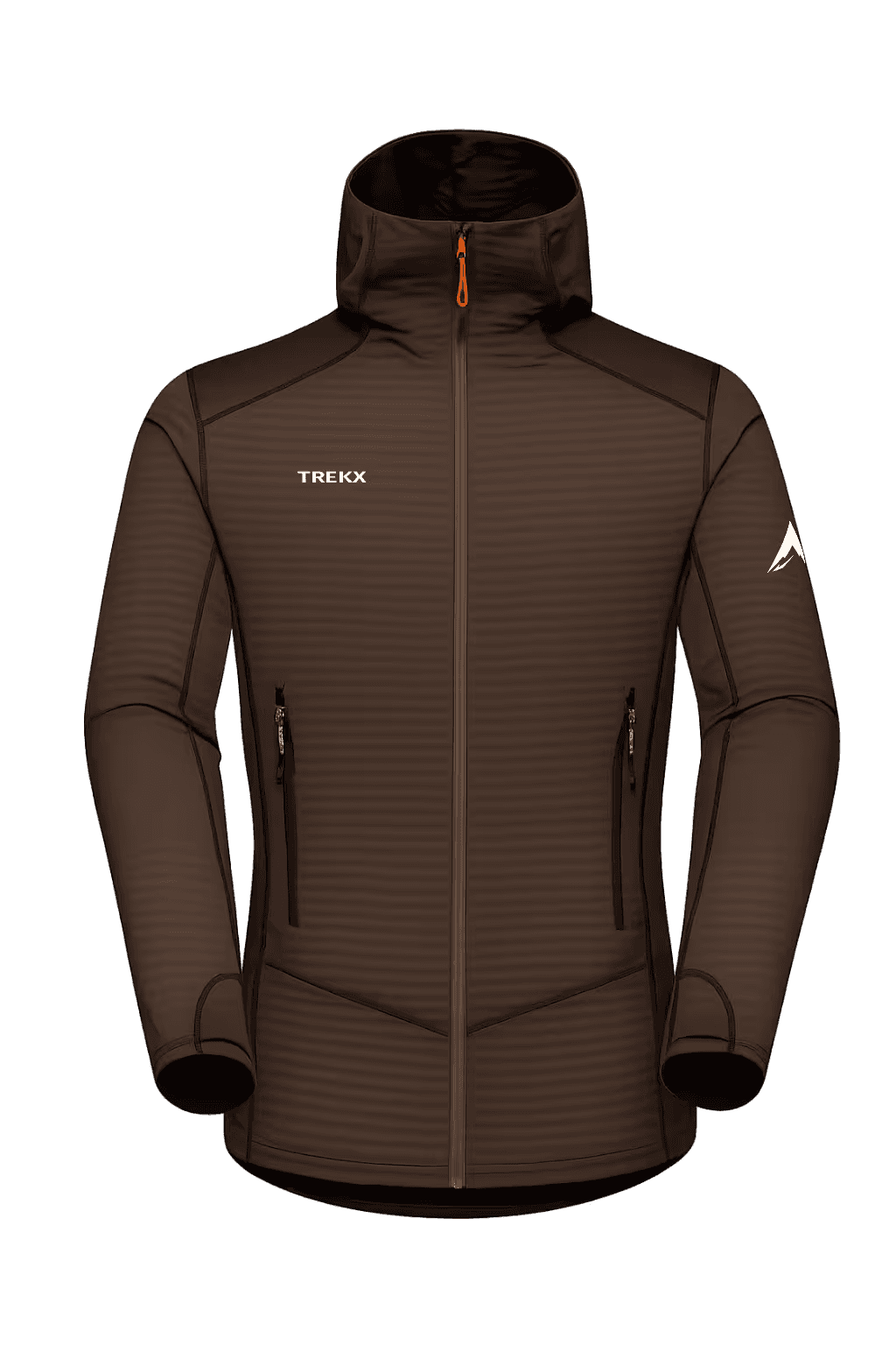
The CoreHeat Expedition Layer is worn from Base Camp departure at 2:00 am through the entire rotation — the overnight temperature on the Godwin-Austen Glacier between Base Camp and Camp I drops to -20°C before the solar gain of 8:00 am arrives, and the base layer's moisture management is the system that prevents the perspiration from the approach from becoming the cooling mechanism during the rest stops. At altitude, wet skin in -20°C wind does not warm at the same rate as it cools.
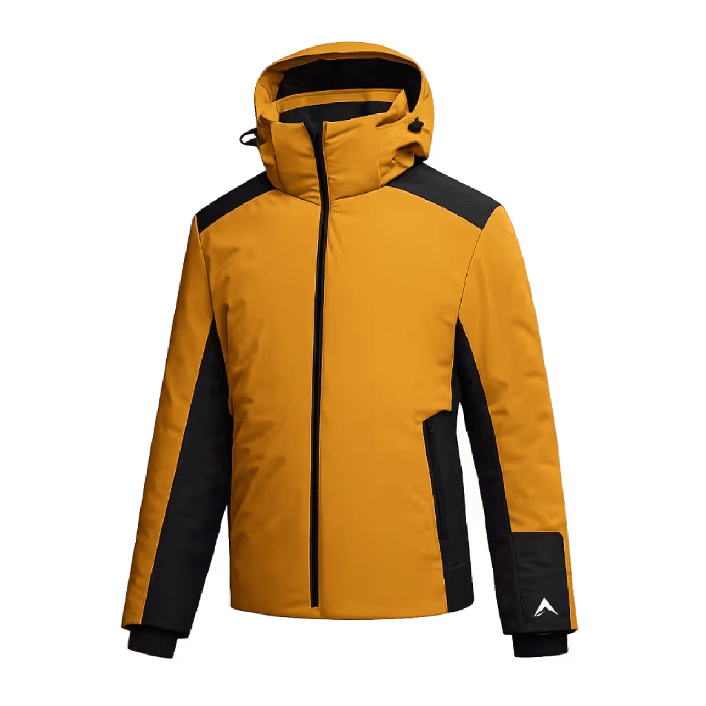
The Tempest GTX Pro Shell is the outer layer for all above-Base Camp movement. On the Abruzzi Spur above 6,000 meters in July, the Karakoram afternoon storm — building from the southwest without the visual warning that European alpine weather provides — produces rain-to-snow transitions within 15 minutes that the shell must handle without membrane saturation. A compromised GTX membrane at 6,500 meters in a storm is the equipment failure that converts a manageable retreat to Base Camp into a survival situation on the fixed ropes.
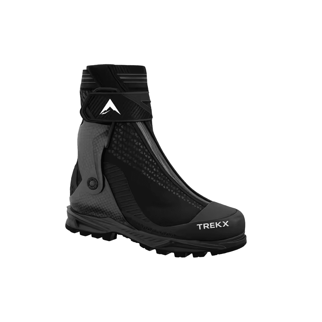
The Icebound Expedition Gloves and Glacier Apex Boots perform on the Abruzzi exactly as they were described in the Everest guide — the glove dexterity on fixed rope carabiners and the boot insulation against -30°C ambient on the overnight Camp II stay are the same physiological requirements at the same technical consequence level. The difference is that K2's weather makes the Camp II stay more likely to extend involuntarily — a storm that pins the team at Camp II for 36 hours in July is not an exceptional event on this mountain.
Emergency Infrastructure
The StormCore Emergency Shelter and Alpine Emergency Bivy are the contingency layer that the high rotation carries without expectation of use and absolute certainty of requirement if conditions deteriorate faster than the descent allows. The StormCore shelters two people in survival mode — not comfort, not sleep, survival — against the wind and temperature that a K2 storm above 6,000 meters produces. The Alpine Emergency Bivy is the single-person backup: if the team is separated by a serac collapse or a rope fix failure above Camp I, the bivy is the equipment that extends the survival window long enough for a rescue descent attempt from Base Camp.
The Avalanche Response System — beacon, probe, and shovel in the standardized rescue kit configuration — is active from the Khoburtse camp on the approach through every glacier movement above Base Camp. The Godwin-Austen Glacier below K2's south face receives serac fall from the hanging glaciers above it on a frequency that the K2 expedition history documents as a primary cause of Base Camp and approach fatalities. The beacon is worn on the body, not packed in the bag. The shovel and probe are accessible in the top lid of the SkyShield Airbag Pack, not at the bottom of the main compartment.
Serac collapse on the Godwin-Austen Glacier between Base Camp and Camp I moves at avalanche speed with no warning time. If a team member is buried, the response window for survival recovery is 15 minutes. The Avalanche Response System beacon search protocol — switch all devices to search mode, grid the debris field in pairs, probe on signal, excavate from the side — must be practiced at Base Camp before any glacier movement above it. Practice it. The technique that has been rehearsed is the technique that functions at 5,400 meters in shock conditions. The technique that was only read about is not.
06The Return
The return from K2 Base Camp to Islamabad reverses the approach in eight glacier days to Askole, followed by the jeep road to Skardu, the flight or drive to Islamabad. The return on the Baltoro carries a different quality than the approach — the mountains that were ahead are now behind, the unknown glacier is now familiar, and the body moving across it has been at altitude for six weeks and is performing at a reduced baseline that the lowland arrival will take ten days to fully correct.
In Islamabad, the permit return documentation is filed with the Ministry of Tourism within 48 hours of return — a regulatory requirement that the agency manages. The expedition debrief, conducted by the Pakistan Alpine Club for all climbing expeditions, provides the formal closure that the mountain does not provide on its own terms.
K2 does not offer the summit experience that Everest's infrastructure has commodified. What it offers instead is a mountain in its actual state — remote, technical, meteorologically violent, and entirely honest about what it requires. The Base Camp expedition, within this guide's scope, covers enough of that honesty to constitute a genuine engagement with the Karakoram. The summit is what the mountain reserves for the very few, on its own terms, in its own time.

Glacier Fortress Tent
The four-season shelter for eight consecutive glacier camps where 80 km/h Karakoram gusts arrive without forecast
TerraLite Ground Sheet
The layer that keeps the SummitCore Expedition Bag performing to its -20°C specification rather than its bare-ice degraded equivalent
Tempest GTX Pro Shell
The outer barrier on the Abruzzi Spur above 6,000 meters and a compromised membrane converts a manageable retreat into a survival situation on the fixed ropes
CoreHeat Expedition Layer
Moisture management that prevents overnight perspiration from becoming the cooling mechanism during -20°C rest stops on the Godwin-Austen Glacier approach
Glacier Apex Boots
Double-boot insulation for all above-Base Camp movement where -30°C ambient at Camp II and fixed rope technique on the Abruzzi require foot warmth
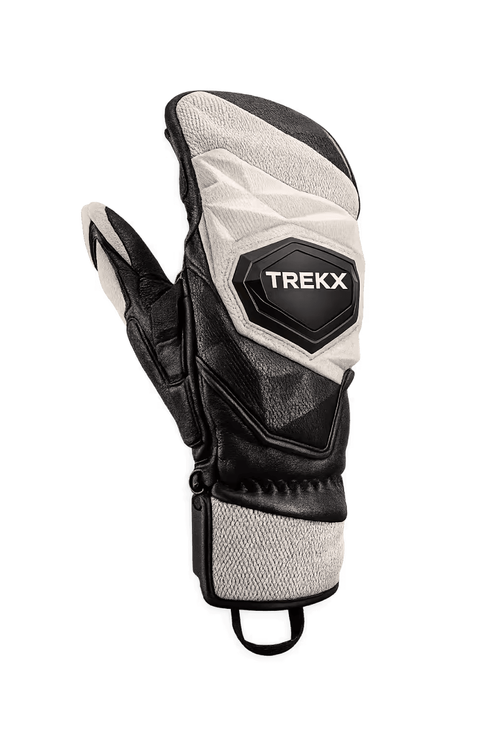
Icebound Expedition Gloves
Maintains clipping dexterity on fixed rope carabiners at -30°C on the Abruzzi Spur
StormCore Emergency Shelter
Carried without expectation of use and certain to be needed if conditions deteriorate at the wrong moment
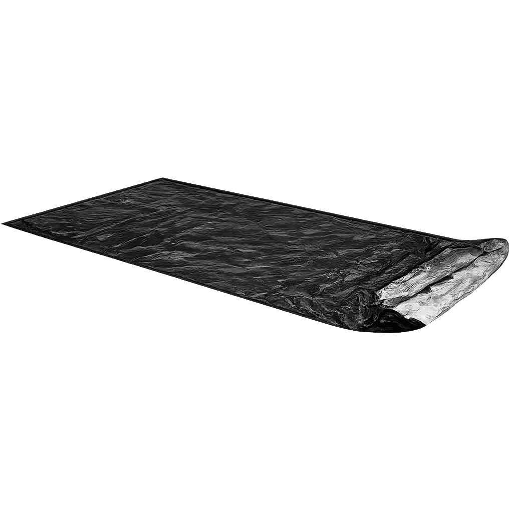
Alpine Emergency Bivy
The equipment that extends the survival window long enough for a rescue descent attempt when the team cannot move together
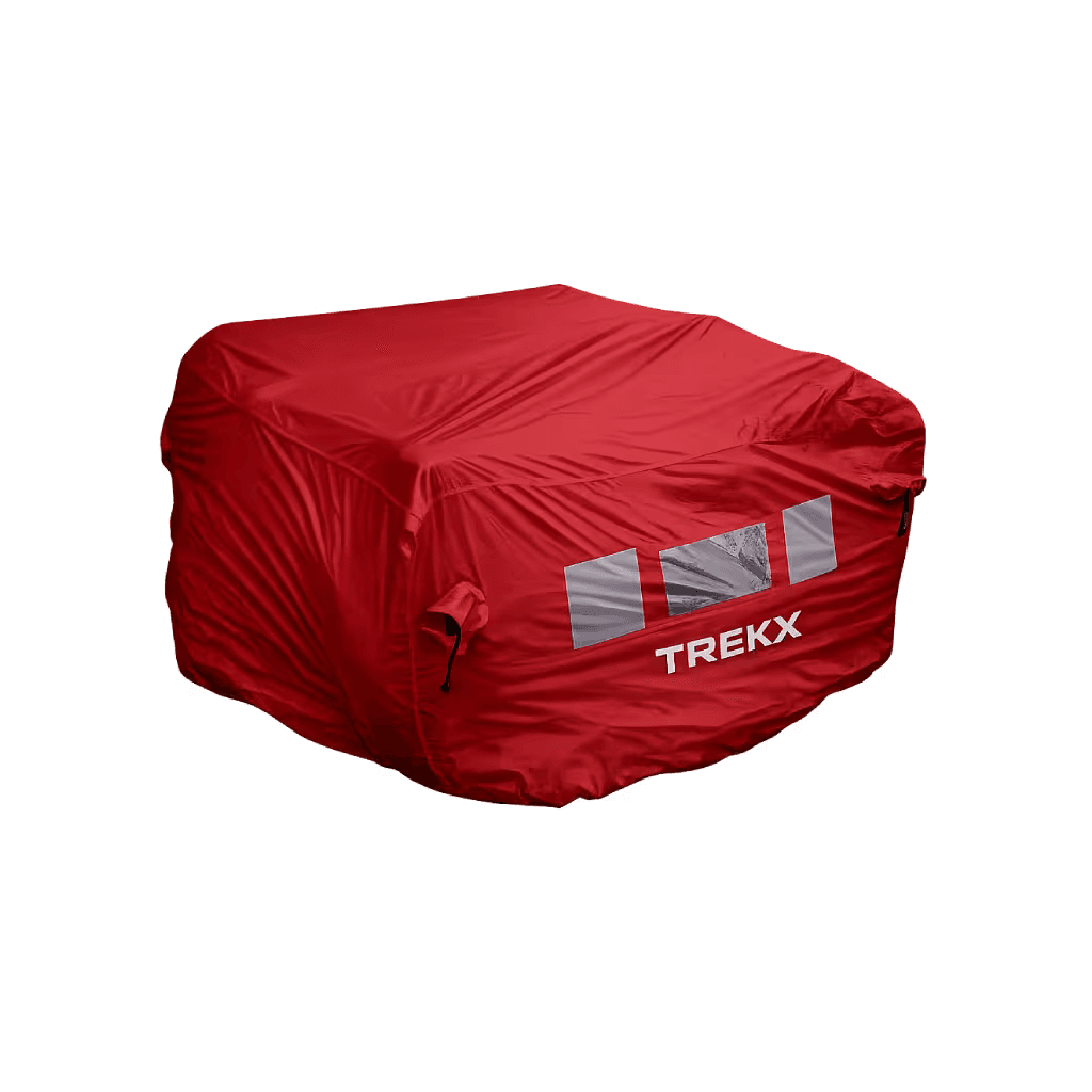
SkyShield Airbag Pack
Deployed from Paiju camp onward where serac fall frequency is documented in the expedition history
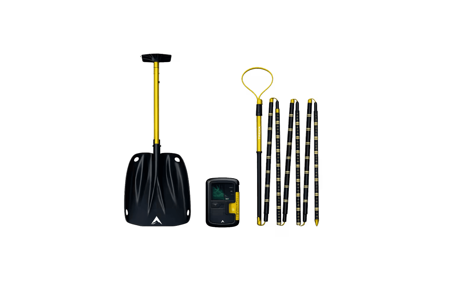
Avalanche Response System
Practiced at Base Camp before any glacier movement, the rehearsed technique that functions in the 15-minute survival window after serac burial