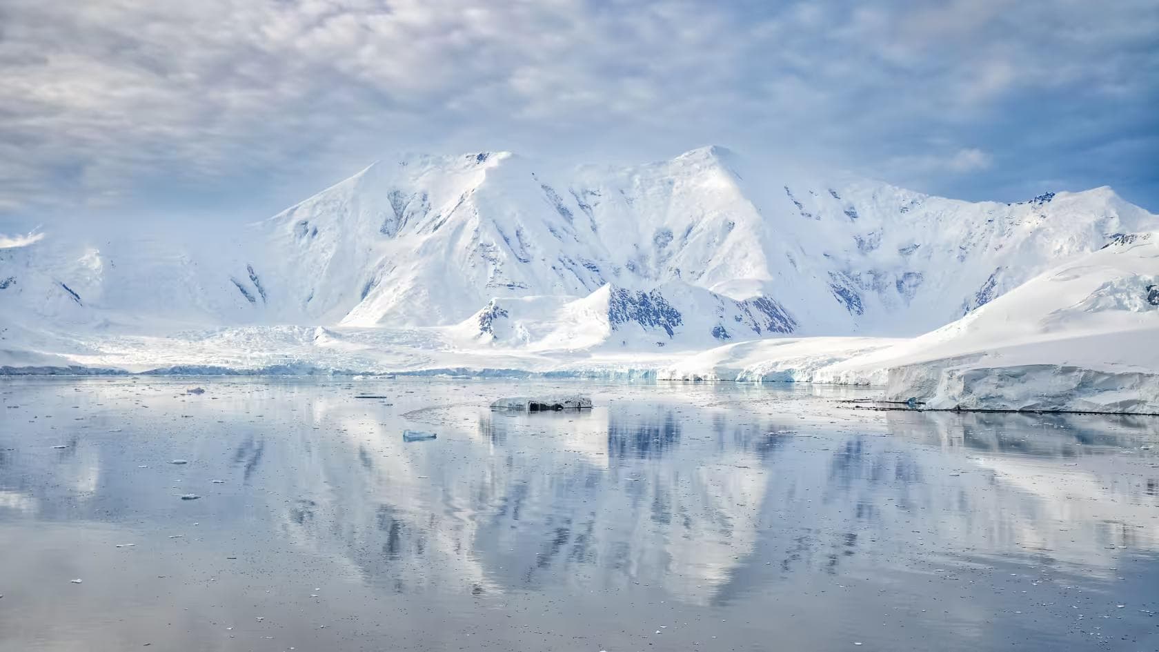
The Himalaya beyond the Everest circuit is not a secret. It is simply inconvenient — the valleys that require three days of walking before the first lodge appears, the passes that sit above 5,500 meters and carry snow from October onward, the permit systems that limit daily visitor numbers to figures that the Khumbu's infrastructure would describe as quiet Tuesday. The trekkers who find these places tend not to describe them loudly. The remoteness is the point, and the remoteness is maintained by exactly the friction — the extra permit, the extra day, the extra elevation — that most itineraries route around.
This guide covers three distinct Himalayan regions across a two-month framework: the Khumbu high routes above the standard EBC trail, the Dolpo circuit in the remote trans-Himalayan zone of western Nepal, and the Upper Mustang trekking corridor along the Tibetan border. Together, they cover the full spectrum of what Nepal beyond the established circuits contains — altitude trekking above 6,000 meters, genuine cultural remoteness in Bon and Tibetan Buddhist communities, and the specific physical challenge of sustained high-altitude movement across passes that the autumn season makes accessible and the winter season closes entirely. Two months is the correct duration. It is not generous. The distances are real, the acclimatization requirements are non-negotiable, and the pace that altitude above 5,000 meters enforces is slower than any lowland experience prepares for.
01Permit System
Nepal's trekking permit system is layered — each region adds a permit to the national baseline, and the restricted areas carry fees that reflect their limited-access status:
- TIMS Card (Trekkers' Information Management System) — NPR 2,000 (~€15) for all trekking areas, issued at the Nepal Tourism Board in Kathmandu
- Khumbu high routes — Sagarmatha National Park permit at NPR 3,000 (~€22) plus the standard Lukla entry
- Dolpo circuit — Restricted Area Permit at USD $500 for 10 days (Upper Dolpo) or USD $10/day (Lower Dolpo), issued in Kathmandu, mandatory licensed guide
- Upper Mustang — Restricted Area Permit at USD $500 for 10 days, mandatory licensed guide, issued through a registered trekking agency
The Dolpo and Upper Mustang permits require a registered Nepal trekking agency as the processing entity — independent permit applications are not accepted for restricted areas. Himalayan Encounters, Nepal Trek & Expedition, and Snow Leopard Trek all have documented experience in both restricted zones.
Kathmandu Preparation
Kathmandu requires four days minimum before any remote Nepal trekking departure — the permit process takes two full days regardless of agency efficiency, the gear check and Thamel resupply take one, and the acclimatization day walk to Nagarkot at 2,100 meters takes one more. The acclimatization walk is not optional padding. Two months of high-altitude trekking beginning at Lukla without the Nagarkot day is two months that begin with a physiological deficit at the first 3,000-meter camp.
The Titan Ridge Expedition Pack at 100L is the carry system for the full two-month expedition — the volume that accommodates the full sleeping system, technical layers, cooking equipment, and the permit documentation that every checkpoint between Jomsom and Dolpo requires. In Nepal's restricted areas, permit documentation is checked at multiple military and immigration checkpoints, and a document not accessible at the top of the pack is a document that requires a 10-minute unpack at a checkpoint in the rain. Permit folder in the pack lid, accessible in 10 seconds.
The Nepal Immigration Department in Kathmandu processes restricted area permits in 48 hours under normal conditions. Submit the application on day one of the Kathmandu stay, collect on day three, and use day two for gear consolidation and the Thamel resupply. Gas canisters for the Inferno X Expedition Stove are available at Thamel outdoor shops and at Namche Bazaar — they are not available in Dolpo or Upper Mustang, and the two-month fuel budget (approximately 60 days × 400ml/day × 2 people) requires pre-positioning canisters at the Jomsom and Dunai resupply points through the agency before departure.
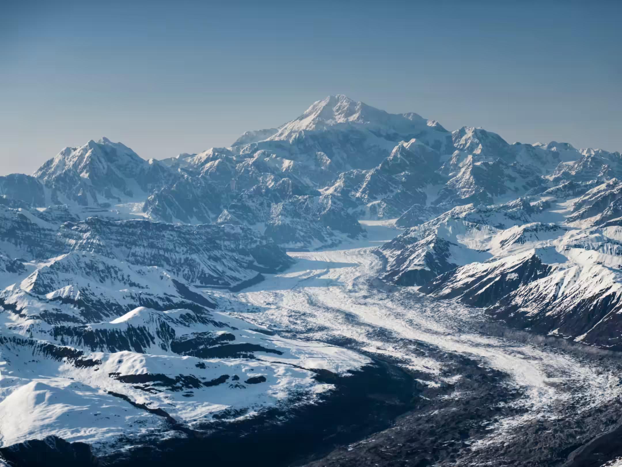
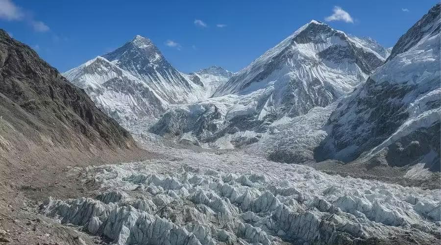
02Phase One: Khumbu High Routes (Weeks One–Three)
The Khumbu high routes — the network of trails above the standard Everest Base Camp corridor — connect the same valley system through higher ground, emptier paths, and the altitude above 5,000 meters that the EBC trail approaches but does not consistently occupy. The three principal high routes for this itinerary:
- Kongma La (5,535m) — connects Dingboche to Lobuche via a high pass above the Khumbu glacier, bypassing the standard valley path
- Chhukhung Ri (5,550m) — a summit above Chhukhung with direct views of the Lhotse south face and the Island Peak approach glacier
- Amphu Labtsa (5,780m) — the technical high pass connecting the Imja Khola to the Hongu basin, requiring rope and crampon use on the western descent
The Khumbu high routes are walked sequentially as part of the standard EBC approach timeline, extended by the additional elevation days that each high route adds. The standard acclimatization schedule — Lukla to Namche, rest day, Namche to Tengboche, Tengboche to Dingboche, rest day — applies with the high route extensions added above each rest day elevation gain.
Amphu Labtsa Technical Section
The Amphu Labtsa at 5,780 meters is the most technically demanding section of the Khumbu phase — a snow and mixed rock pass whose western descent requires the FangGrip Crampons and Glacier Apex Boots on a 40-degree ice slope above the Hongu basin. The pass is not guided in the standard trekking sense — there is no fixed rope, no waymarked approach, and the descent line requires route-finding on terrain that changes character annually with the snowpack. The TerraNav Pro GPS is the navigation tool for the Hongu basin approach in cloud, which the October weather produces on the east-facing descent without warning.
The Strata Alpine Softshell is the active movement layer throughout the Khumbu high route section — the exertion of sustained uphill movement at 5,000+ meters in autumn sun generates heat that a hardshell cannot vent, while the softshell's wind resistance manages the ridge exposure without the perspiration accumulation that closed membranes produce during technical ascents. Above the snowline on the Amphu Labtsa approach, the Tempest GTX Pro Shell goes over the softshell for the descent section — the layering transition that the two-layer system makes possible without adding the weight of a third technical shell.
Hongu Basin Camp
The Hongu basin below the Amphu Labtsa — a remote glacial valley with no lodges, no trails beyond the occasional yak herder's path, and no infrastructure between the pass above and the Hinku valley two days below — is the Khumbu phase's most isolated position. The Aether UL Shelter is pitched on a flat moraine at approximately 4,900 meters. The SummitCore Expedition Bag rated to -40°C lower limit handles the October Hongu basin nights — which drop to -20°C by 2:00 am at this elevation and in this valley, where cold air drainage from the surrounding glaciers concentrates overnight.
The ThermaPeak Expedition Pad and CompressLite Sack complete the camp system. The CompressLite compresses the SummitCore bag to pack-closing volume for carrying over the Amphu Labtsa — an uncompressed down bag occupying 40% of the pack's internal volume is the packing decision that forces external strapping on a technical pass where a clean pack profile matters for the rope work. Release the compression on arrival at the Hongu camp and allow the down to loft fully overnight before the -20°C arrives.
The Amphu Labtsa pass should not be attempted without rope and crampon equipment and a team member with confirmed technical alpine experience. The western descent ice slope is avalanche-prone after fresh snowfall and requires route assessment from the pass crest before committing to the descent. If the slope shows recent wind slab deposition — a dull, chalky surface rather than the crystalline sparkle of settled snow — descend to the Imja Khola and use the Island Peak valley route to the Hongu instead. A two-day detour is not a failure. An avalanche on a 40-degree ice slope at 5,700 meters with no rescue infrastructure is.
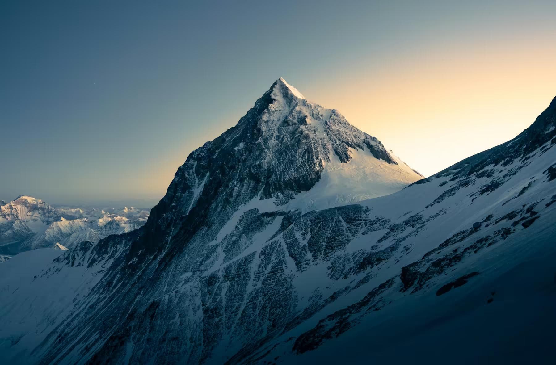
03Phase Two: Dolpo Circuit (Weeks Four–Seven)
Dolpo — the remote district of northwestern Nepal accessible only by a multi-day walk from Juphal airport or the 10-day approach from Dunai on foot — is the most culturally preserved Bon Buddhist region in Nepal and the landscape that Peter Matthiessen documented in The Snow Leopard. The trans-Himalayan character of Upper Dolpo — north of the main Himalayan range, in the rain shadow that produces a high-altitude semi-arid landscape more similar to Tibet than to the forested valleys of the southern slopes — produces a visual environment that no other Nepal region replicates. The light is harder, the colors more saturated, the settlements more ancient in appearance, and the trekking infrastructure essentially absent above Shey Gompa.
Juphal to Shey Gompa
The approach from Juphal airport (2,475m) to Shey Gompa (4,200m) covers 80 kilometers across 8 days — a sustained high-altitude approach that the October weather in Dolpo makes cold from the first day. The Juphal-to-Phoksundo section crosses the Jang La pass at 5,190 meters on day six — the first significant altitude above 5,000 meters in the Dolpo phase and the pass that the first snowfall of November closes. Check current conditions with the Juphal airstrip operator before departing Kathmandu; the October-November window narrows annually as the climate shifts.
The CoreHeat Expedition Layer and Altitude Carbon Poles are the daily carry from Juphal — the base layer's moisture management covering the 15°C temperature swing between the Phoksundo valley floor in afternoon sun and the exposed ridge at 4,500 meters in morning shadow, the poles providing the altitude pacing mechanism that the Dolpo's sustained high terrain requires. Above 4,000 meters for extended periods, the poles are not a balance aid — they are the system that distributes the cardiac load of sustained high-altitude walking across the upper body, reducing the heart rate that each step demands by a margin that becomes measurable as daily fatigue over a four-week circuit.
Shey Gompa
Shey Gompa at 4,200 meters — the Crystal Mountain monastery that Matthiessen walked toward — is the spiritual center of Upper Dolpo and the expedition's most remote base point. The monastery is inhabited by a small community of monks and is the furthest functioning religious institution from a road in Nepal. Arriving at Shey after eight days of walking from the last airstrip produces a specific quality of arrival that helicopter-accessible trekking destinations cannot replicate — the distance is part of what the place is.
Camp above Shey at the moraine lake at 4,600 meters — the Inferno X Stove melts snow for water above the lake's October ice surface, the fuel pre-positioned at Shey by the agency mule from the Juphal resupply. The agency coordination that brought gas canisters to this specific location, 80 kilometers from the nearest road, is the logistics infrastructure that makes the Dolpo circuit possible without the full porter load that independent fuel carry would require.
Kang La (5,360m)
The Kang La pass at 5,360 meters — connecting Upper Dolpo to the Bheri River valley — is the Dolpo circuit's highest point and the exit route from the Shey basin. In late October, the Kang La carries ice on its northern approach from the overnight temperatures that Dolpo's altitude and latitude combine to produce. The FangGrip Crampons and Glacier Apex Boots are required from the first ice section below the pass — a 200-meter slope at 30 degrees that the morning sun has not yet reached at the 6:00 am departure that the pass crossing requires. Cross by 10:00 am. The afternoon cloud that Dolpo's weather system generates from the southern valleys by noon closes the pass visibility without transition.
The Inferno X Expedition Stove fuel consumption in Upper Dolpo exceeds the standard figure by 25% — the combination of altitude (reduced atmospheric pressure slows combustion), cold (canister pre-heating is mandatory below -10°C), and the absence of liquid water sources above 4,000 meters after mid-October (all water comes from snow melting) drives consumption to approximately 500ml per person per day. The agency's Shey resupply must account for this figure rather than standard trekking calculations.
04Phase Three: Upper Mustang (Weeks Eight–Nine)
Upper Mustang — the former Kingdom of Lo, closed to foreign visitors until 1992 and still restricted to 1,500 permitted trekkers annually — occupies a high-altitude plateau north of the Annapurna massif in the deepest rain shadow of the Himalaya. The landscape is Tibetan in character: red and ochre eroded cliffs, flat-roofed whitewashed villages, prayer flags on every rooftop, the Kali Gandaki gorge — the world's deepest river gorge — cutting south through the plateau edge. The wind in Upper Mustang follows the Kali Gandaki gorge north every afternoon with a consistency that the local Loba people have oriented their architecture around for centuries — every doorway in Lo Manthang faces away from the south.
Jomsom to Lo Manthang
The standard Upper Mustang approach from Jomsom (2,720m) to Lo Manthang (3,840m) covers 80 kilometers over 5 days on a well-maintained trail — the best-maintained path in this entire guide phase, a legacy of the Annapurna Conservation Area's infrastructure investment and the restricted permit revenue. The distinction from Dolpo is immediate: Upper Mustang has teahouses at every significant settlement, running water at most of them, and a path that is unmistakably a path rather than a sometimes-visible line through moraine.
The Strata Alpine Softshell covers the full Upper Mustang walking section — the plateau elevation maintains a consistent temperature band (5–15°C in afternoon sun, -5°C to -15°C overnight in November) that the softshell manages without the hardshell addition that the Dolpo's exposed passes required. The wind is the primary challenge — the afternoon gorge wind that accelerates to 40–50 km/h between 1:00 pm and 5:00 pm is the reason Upper Mustang trekkers move early and stop for a long lunch at whatever shelter the next village provides.
Lo Manthang
Lo Manthang — the walled capital of the former Kingdom of Lo, population approximately 1,000 — is the furthest accessible settlement in Upper Mustang and the permit boundary for non-extended treks. The ancient city walls, the 15th-century gompa complex, and the living Tibetan Buddhist culture that the restricted area status has preserved make Lo Manthang the most historically intact medieval city accessible by trekking in Asia. Spend two nights here — one to recover from the approach, one to explore the city on foot without a destination. The gompa's head lama maintains an open-door policy for respectful visitors during morning puja. Arrive before 7:00 am.
The return from Lo Manthang to Jomsom follows the same route in three days rather than five — the downhill direction and established trail allow a pace that the approach days did not. From Jomsom, a Tara Air or Summit Air Twin Otter flight connects to Pokhara in 20 minutes — the same air taxi category as the Lukla service, the same weather-dependent schedule, and the same correct approach: confirm the flight, build the buffer, accept the Himalayan aviation timeline as the final patience test of a two-month expedition.
05Closing Days: Pokhara & Kathmandu
The return to Kathmandu from Pokhara takes 6 hours by tourist bus or 25 minutes by Yeti Airlines — the bus is the correct choice for anyone with remaining time and the inclination to watch the Annapurna massif recede through the bus window across the Pokhara valley for two hours before the foothills close the view. The Himalaya from the Pokhara lakefront — reflected in Phewa Lake on clear mornings, the Annapurna south face rising 6,000 meters above the water's surface, 30 kilometers away — is the view that two months inside the range has given the context to read properly.
In Kathmandu, the permit return documentation — the TIMS card and the restricted area permits — is surrendered at the Nepal Tourism Board and the immigration department. The debrief with the agency covers route conditions, infrastructure changes, and the specific logistics failures that the expedition encountered and that the agency's future expedition planning requires. This debrief is not courtesy. It is the information exchange that improves every subsequent expedition to the same regions, and the two-month dataset that the expedition carries out of Nepal is more operationally valuable than any pre-expedition briefing produced before it.
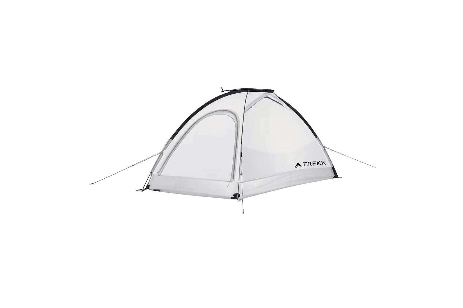
Aether UL Shelter
Weight reduction meaningful across 60 days of continuous carry, ultralight construction requiring snow wall protocol at every exposed camp above 4,500 meters
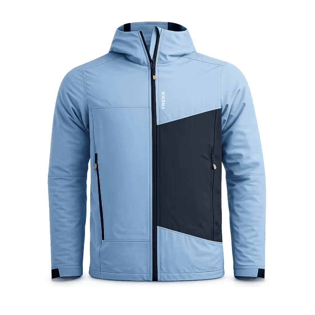
Strata Alpine Softshell
Wind resistant on exposed ridges without the perspiration accumulation that closed membranes produce during sustained high-altitude ascents in autumn sun
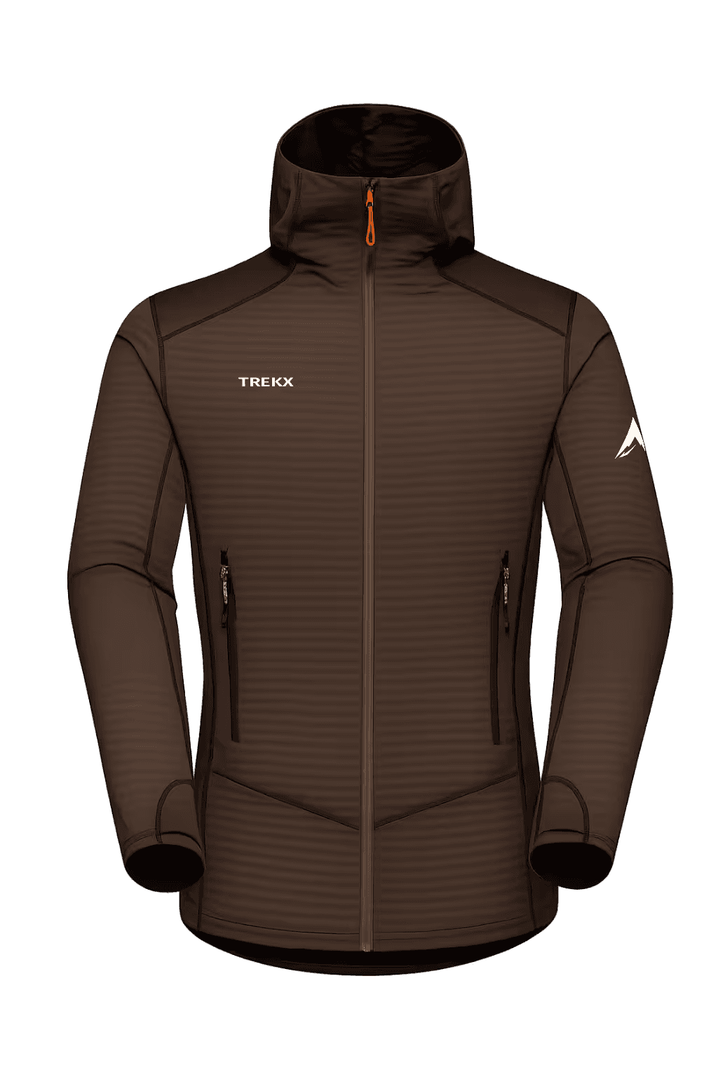
CoreHeat Expedition Layer
Moisture management across the 15°C daily temperature swings of all three phases
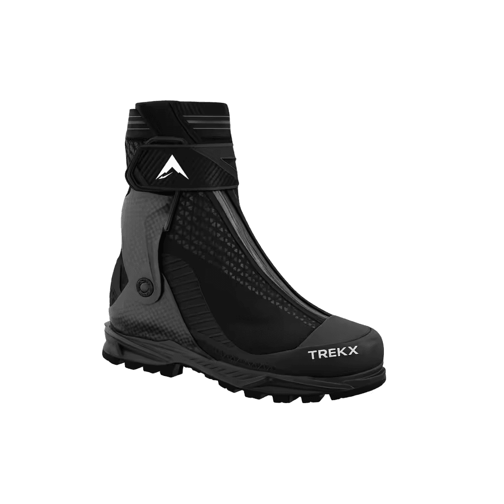
Glacier Apex Boots
Crampon-compatible platform for the Amphu Labtsa western descent and the Kang La approach ice
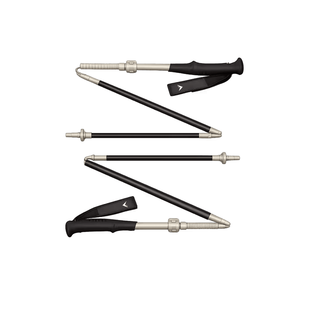
Altitude Carbon Poles
The system that reduces the cardiac demand of each step above 4,000 meters by a margin that compounds across a two-month expedition into measurable daily fatigue reduction
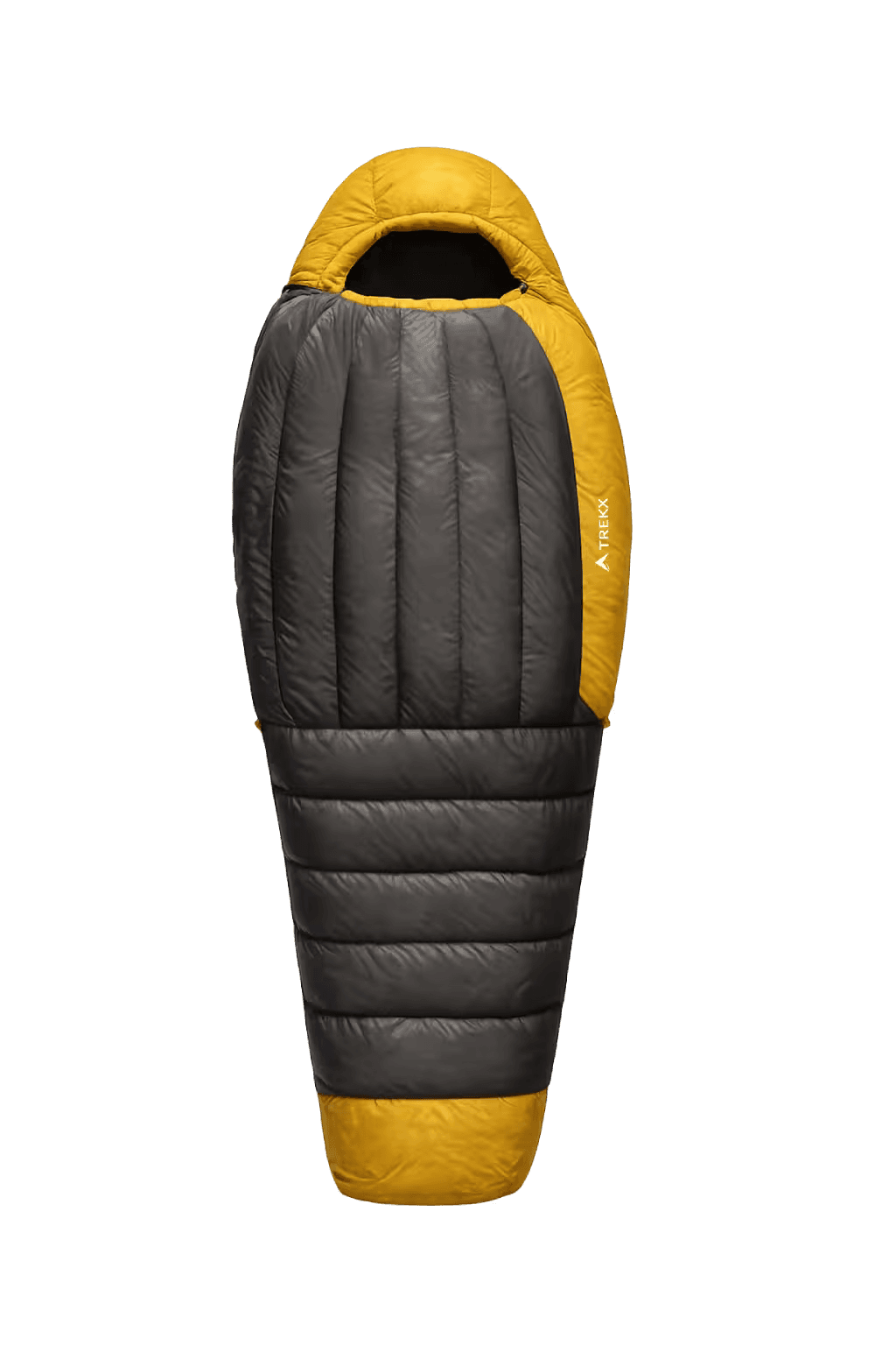
SummitCore Expedition Bag
The sleeping system compressed by the CompressLite Sack for technical pass carries and fully lofted at camp for the -20°C nights that October Himalayan altitude produces
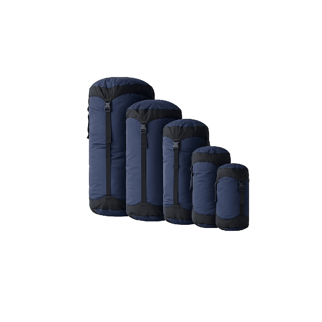
CompressLite Sack
The packing solution that keeps the rope work clean on technical passes where an externally strapped bag is a balance liability
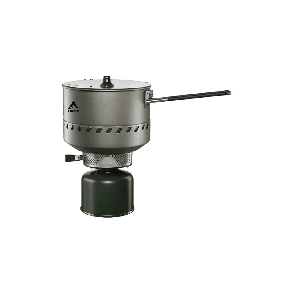
Inferno X Expedition Stove
Snow melting and hot meal production at altitude across all three phases
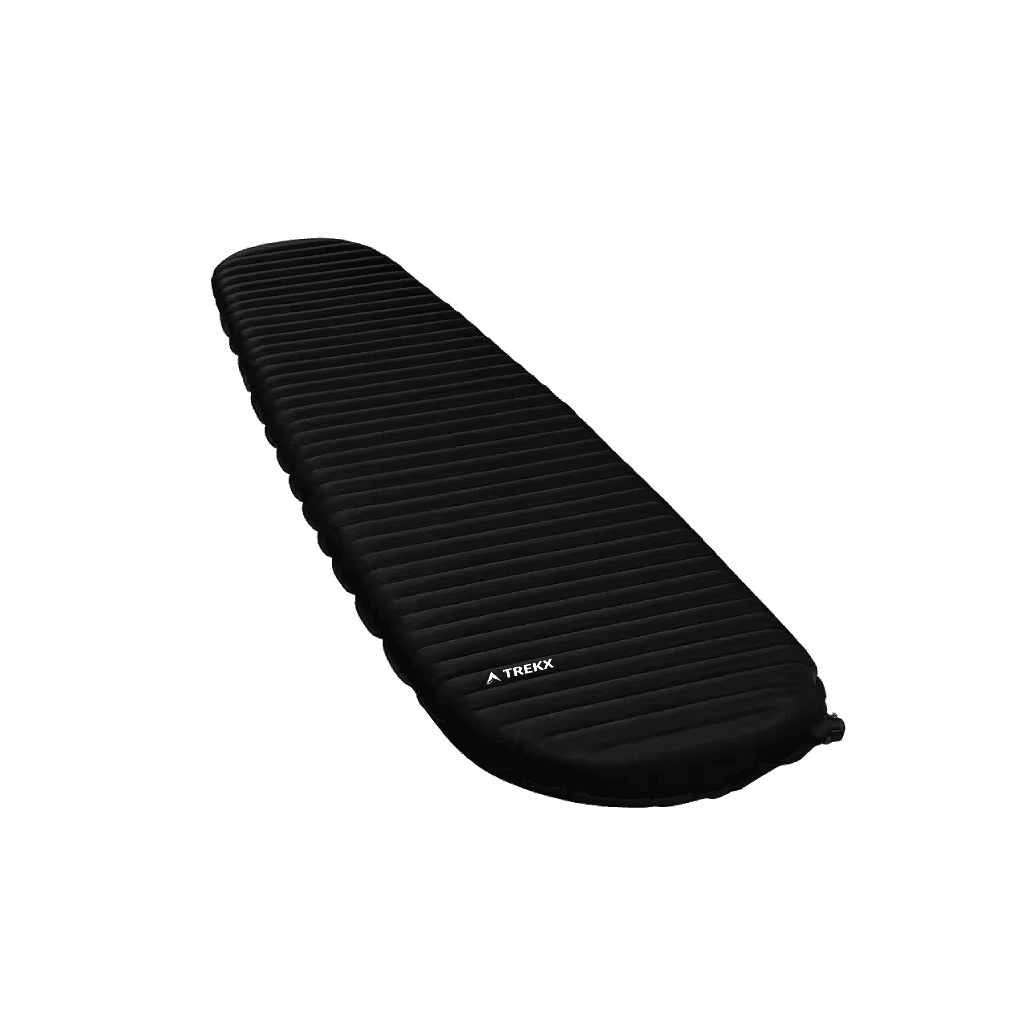
ThermaPeak Expedition Pad
Ground insulation across 60 nights of varied terrain — moraine, glacier ice, plateau soil
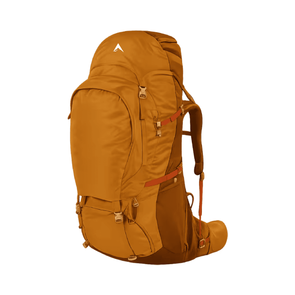
Titan Ridge Expedition Pack
100L carry system for two months of Himalayan expedition movement